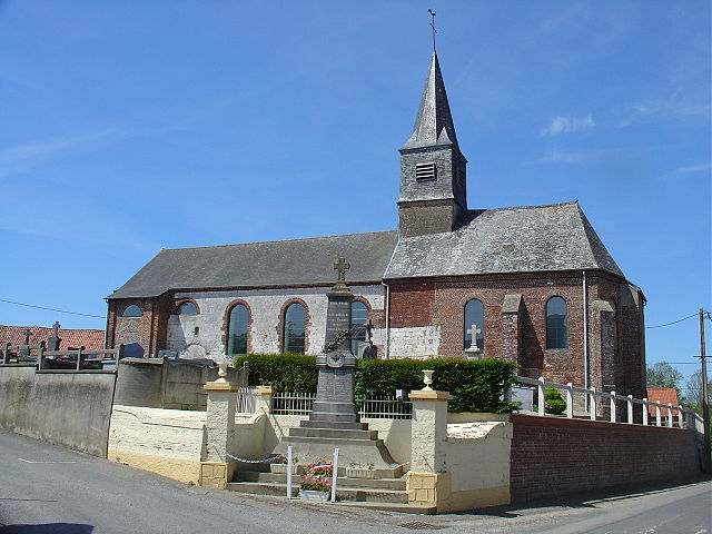
Bourthes (Bourthes)

- commune in Pas-de-Calais, France
- Country:

- Postal Code: 62650
- Coordinates: 50° 36' 23" N, 1° 56' 0" E


- GPS tracks (wikiloc): [Link]
- Area: 22.33 sq km
- Population: 879
- Web site: http://www.ville-bourthes.fr/
- Wikipedia en: wiki(en)
- Wikipedia: wiki(fr)
- Wikidata storage: Wikidata: Q1001747
- Wikipedia Commons Category: [Link]
- Freebase ID: [/m/0246zz]
- GeoNames ID: Alt: [6439398]
- SIREN number: [216201681]
- BnF ID: [15268610b]
- OSM relation ID: [2670591]
- INSEE municipality code: 62168
Shares border with regions:
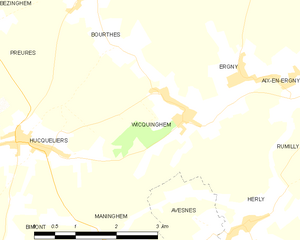
Wicquinghem
- commune in Pas-de-Calais, France
- Country:
- Postal Code: 62650
- Coordinates: 50° 34' 32" N, 1° 57' 41" E
- GPS tracks (wikiloc): [Link]
- Area: 6.8 sq km
- Population: 245
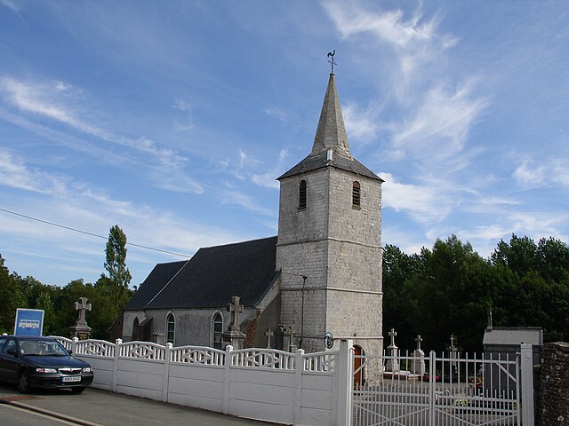
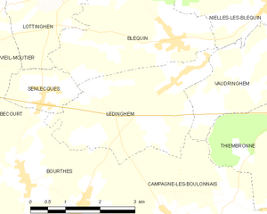
Ledinghem
- commune in Pas-de-Calais, France
- Country:
- Postal Code: 62380
- Coordinates: 50° 39' 13" N, 1° 59' 32" E
- GPS tracks (wikiloc): [Link]
- Area: 8.68 sq km
- Population: 332


Ergny
- commune in Pas-de-Calais, France
- Country:
- Postal Code: 62650
- Coordinates: 50° 35' 1" N, 1° 58' 51" E
- GPS tracks (wikiloc): [Link]
- Area: 9.29 sq km
- Population: 240


Hucqueliers
- commune in Pas-de-Calais, France
- Country:
- Postal Code: 62650
- Coordinates: 50° 34' 8" N, 1° 54' 23" E
- GPS tracks (wikiloc): [Link]
- Area: 7.62 sq km
- Population: 491
- Web site: [Link]

Preures
- commune in Pas-de-Calais, France
- Country:
- Postal Code: 62650
- Coordinates: 50° 34' 19" N, 1° 52' 40" E
- GPS tracks (wikiloc): [Link]
- Area: 15.87 sq km
- Population: 602


Bécourt
- commune in Pas-de-Calais, France
- Country:
- Postal Code: 62240
- Coordinates: 50° 38' 15" N, 1° 54' 37" E
- GPS tracks (wikiloc): [Link]
- Area: 6.03 sq km
- Population: 270


Senlecques
- commune in Pas-de-Calais, France
- Country:
- Postal Code: 62240
- Coordinates: 50° 38' 48" N, 1° 56' 8" E
- GPS tracks (wikiloc): [Link]
- Area: 2.01 sq km
- Population: 267


Zoteux
- commune in Pas-de-Calais, France
- Country:
- Postal Code: 62650
- Coordinates: 50° 36' 38" N, 1° 52' 47" E
- GPS tracks (wikiloc): [Link]
- Area: 7.34 sq km
- Population: 598
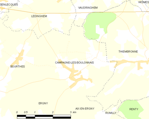
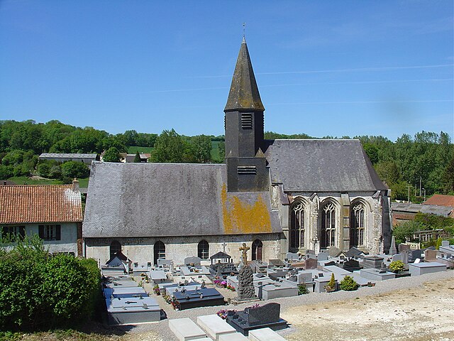
Campagne-lès-Boulonnais
- commune in Pas-de-Calais, France
- Country:
- Postal Code: 62650
- Coordinates: 50° 36' 46" N, 1° 59' 51" E
- GPS tracks (wikiloc): [Link]
- Area: 13.28 sq km
- Population: 595


Bezinghem
- commune in Pas-de-Calais, France
- Country:
- Postal Code: 62650
- Coordinates: 50° 35' 40" N, 1° 49' 34" E
- GPS tracks (wikiloc): [Link]
- Area: 13.15 sq km
- Population: 362