Boves (Boves)
- commune in Somme, France
- Country:

- Postal Code: 80440
- Coordinates: 49° 50' 44" N, 2° 23' 27" E


- GPS tracks (wikiloc): [Link]
- Area: 25.37 sq km
- Population: 3104
- Web site: http://www.ville-boves.fr
- Wikipedia en: wiki(en)
- Wikipedia: wiki(fr)
- Wikidata storage: Wikidata: Q651369
- Wikipedia Commons Category: [Link]
- Freebase ID: [/m/02pzxkv]
- GeoNames ID: Alt: [6454752]
- SIREN number: [218001246]
- BnF ID: [15276615s]
- WOEID: [581506]
- INSEE municipality code: 80131
Shares border with regions:


Blangy-Tronville
- commune in Somme, France
- Country:

- Postal Code: 80440
- Coordinates: 49° 52' 47" N, 2° 25' 25" E


- GPS tracks (wikiloc): [Link]
- Area: 12.44 sq km
- Population: 543
- Web site: [Link]

Fouencamps
- commune in Somme, France
- Country:

- Postal Code: 80440
- Coordinates: 49° 49' 30" N, 2° 24' 28" E


- GPS tracks (wikiloc): [Link]
- Area: 3.65 sq km
- Population: 221
- Web site: [Link]


Gentelles
- commune in Somme, France
- Country:

- Postal Code: 80380
- Coordinates: 49° 50' 43" N, 2° 27' 26" E


- GPS tracks (wikiloc): [Link]
- Area: 5.57 sq km
- Population: 609


Glisy
- commune in Somme, France
- Country:

- Postal Code: 80440
- Coordinates: 49° 52' 40" N, 2° 23' 55" E


- GPS tracks (wikiloc): [Link]
- Area: 5.55 sq km
- Population: 709
- Web site: [Link]


Longueau
- commune in Somme, France
- Country:

- Postal Code: 80330
- Coordinates: 49° 52' 13" N, 2° 21' 22" E


- GPS tracks (wikiloc): [Link]
- Area: 3.42 sq km
- Population: 5491
- Web site: [Link]


Sains-en-Amiénois
- commune in Somme, France
- Country:

- Postal Code: 80680
- Coordinates: 49° 49' 1" N, 2° 19' 5" E


- GPS tracks (wikiloc): [Link]
- Area: 9.92 sq km
- Population: 1197
- Web site: [Link]


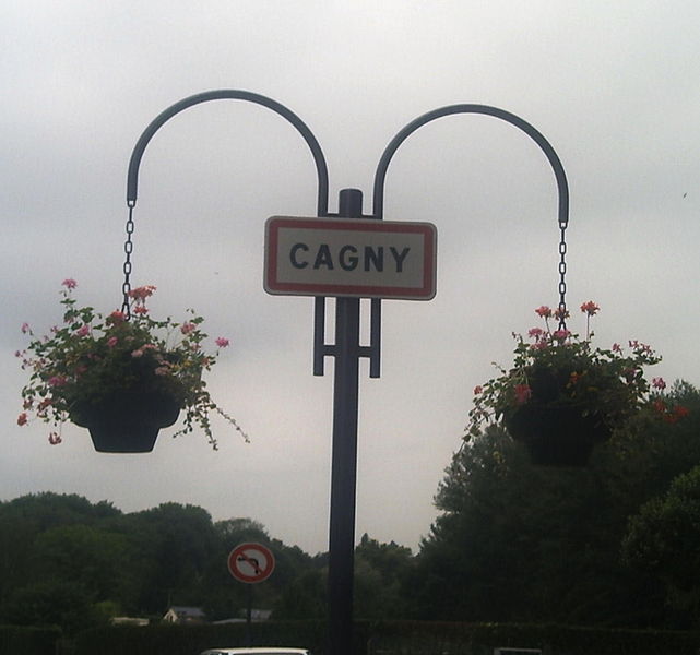
Cagny
- commune in Somme, France
- Country:

- Postal Code: 80330
- Coordinates: 49° 51' 41" N, 2° 20' 35" E


- GPS tracks (wikiloc): [Link]
- Area: 5.29 sq km
- Population: 1201
- Web site: [Link]


Cottenchy
- commune in Somme, France
- Country:

- Postal Code: 80440
- Coordinates: 49° 48' 33" N, 2° 22' 56" E


- GPS tracks (wikiloc): [Link]
- Area: 10.73 sq km
- Population: 582
- Web site: [Link]


Saint-Fuscien
- commune in Somme, France
- Country:

- Postal Code: 80680
- Coordinates: 49° 50' 15" N, 2° 18' 54" E


- GPS tracks (wikiloc): [Link]
- Area: 9.92 sq km
- Population: 1070
- Web site: [Link]

Thézy-Glimont
- commune in Somme, France
- Country:

- Postal Code: 80110
- Coordinates: 49° 48' 46" N, 2° 25' 49" E


- GPS tracks (wikiloc): [Link]
- Area: 6.76 sq km
- Population: 584
- Web site: [Link]
