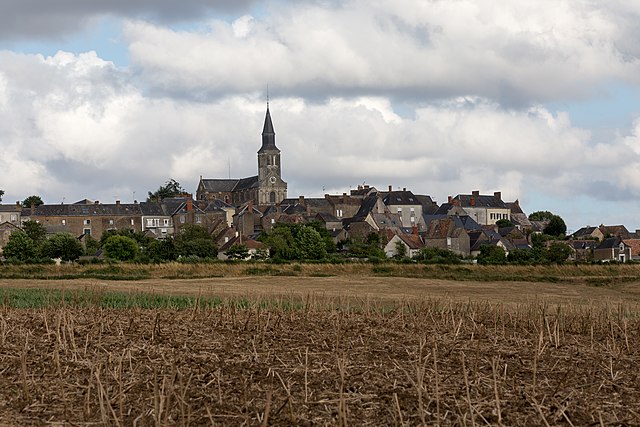
Brûlon (Brûlon)
- commune in Sarthe, France
- Country:

- Postal Code: 72350
- Coordinates: 47° 58' 4" N, 0° 14' 5" E


- GPS tracks (wikiloc): [Link]
- Area: 16.27 sq km
- Population: 1597
- Web site: http://www.mairie-brulon.fr
- Wikipedia en: wiki(en)
- Wikipedia: wiki(fr)
- Wikidata storage: Wikidata: Q1225565
- Wikipedia Commons Category: [Link]
- Freebase ID: [/m/03qj0rm]
- GeoNames ID: Alt: [3029775]
- SIREN number: [217200500]
- BnF ID: [15273608s]
- WOEID: [582198]
- Digital Atlas of the Roman Empire ID: [3996]
- INSEE municipality code: 72050
Shares border with regions:


Joué-en-Charnie
- commune in Sarthe, France
- Country:

- Postal Code: 72540
- Coordinates: 48° 1' 4" N, 0° 11' 27" E


- GPS tracks (wikiloc): [Link]
- Area: 23.53 sq km
- Population: 646


Saint-Denis-d'Orques
- commune in Sarthe, France
- Country:

- Postal Code: 72350
- Coordinates: 48° 1' 42" N, 0° 16' 23" E


- GPS tracks (wikiloc): [Link]
- Area: 47.17 sq km
- Population: 814
- Web site: [Link]


Saint-Ouen-en-Champagne
- commune in Sarthe, France
- Country:

- Postal Code: 72350
- Coordinates: 47° 57' 0" N, 0° 11' 19" E


- GPS tracks (wikiloc): [Link]
- Area: 11.2 sq km
- Population: 231


Chevillé
- commune in Sarthe, France
- Country:

- Postal Code: 72350
- Coordinates: 47° 56' 54" N, 0° 13' 25" E


- GPS tracks (wikiloc): [Link]
- Area: 14.23 sq km
- Population: 407


Avessé
- commune in Sarthe, France
- Country:

- Postal Code: 72350
- Coordinates: 47° 57' 17" N, 0° 15' 3" E


- GPS tracks (wikiloc): [Link]
- Area: 18.72 sq km
- Population: 371


Mareil-en-Champagne
- commune in Sarthe, France
- Country:

- Postal Code: 72540
- Coordinates: 47° 59' 5" N, 0° 10' 8" E


- GPS tracks (wikiloc): [Link]
- Area: 7.97 sq km
- Population: 365
