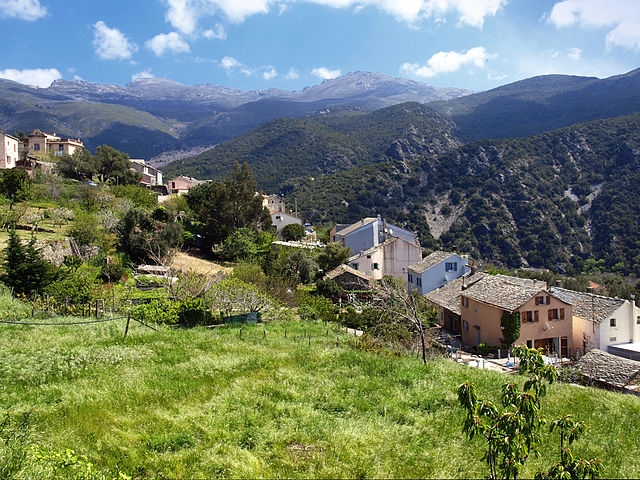
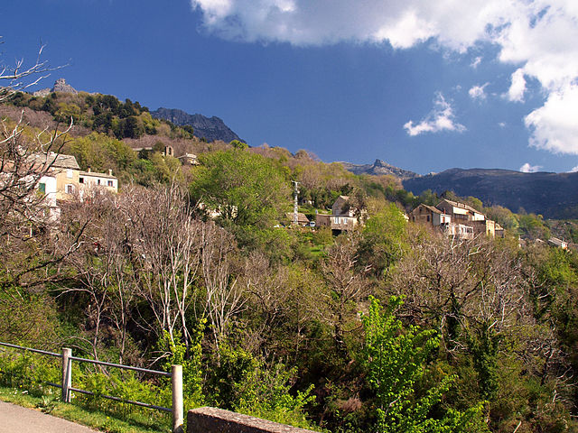
Brando (Brando)
- commune in Haute-Corse, France
- Country:

- Postal Code: 20222
- Coordinates: 42° 46' 30" N, 9° 28' 31" E


- GPS tracks (wikiloc): [Link]
- Area: 22.22 sq km
- Population: 1644
- Web site: http://www.brando.fr/
- Wikipedia en: wiki(en)
- Wikipedia: wiki(fr)
- Wikidata storage: Wikidata: Q748403
- Wikipedia Commons Category: [Link]
- Freebase ID: [/m/03mdlzc]
- Freebase ID: [/m/03mdlzc]
- GeoNames ID: Alt: [6448143]
- GeoNames ID: Alt: [6448143]
- SIREN number: [212000434]
- SIREN number: [212000434]
- BnF ID: [15250071r]
- BnF ID: [15250071r]
- Digital Atlas of the Roman Empire ID: [32853]
- Digital Atlas of the Roman Empire ID: [32853]
- INSEE municipality code: 2B043
- INSEE municipality code: 2B043
Shares border with regions:


Santa-Maria-di-Lota
- commune in Haute-Corse, France
- Country:

- Postal Code: 20200
- Coordinates: 42° 44' 52" N, 9° 25' 55" E


- GPS tracks (wikiloc): [Link]
- AboveSeaLevel: 300 м m
- Area: 13.2 sq km
- Population: 1717
- Web site: [Link]


Sisco
- commune in Haute-Corse, France
- Country:

- Postal Code: 20233
- Coordinates: 42° 48' 58" N, 9° 25' 48" E


- GPS tracks (wikiloc): [Link]
- AboveSeaLevel: 500 м m
- Area: 24.96 sq km
- Population: 1121
- Web site: [Link]


Olmeta-di-Capocorso
- commune in Haute-Corse, France
- Country:

- Postal Code: 20217
- Coordinates: 42° 46' 7" N, 9° 22' 17" E


- GPS tracks (wikiloc): [Link]
- AboveSeaLevel: 200 м m
- Area: 21.57 sq km
- Population: 148
- Web site: [Link]


Olcani
- commune in Haute-Corse, France
- Country:

- Postal Code: 20217
- Coordinates: 42° 48' 36" N, 9° 22' 13" E


- GPS tracks (wikiloc): [Link]
- AboveSeaLevel: 350 м m
- Area: 14.25 sq km
- Population: 80
