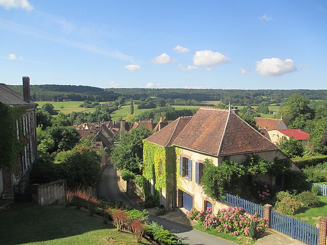
Bretoncelles (Bretoncelles)

- commune in Orne, France
- Country:

- Postal Code: 61110
- Coordinates: 48° 25' 54" N, 0° 53' 15" E


- GPS tracks (wikiloc): [Link]
- Area: 40.21 sq km
- Population: 1464
- Web site: http://www.bretoncelles.fr
- Wikipedia en: wiki(en)
- Wikipedia: wiki(fr)
- Wikidata storage: Wikidata: Q690788
- Wikipedia Commons Category: [Link]
- Freebase ID: [/m/03qgqln]
- Freebase ID: [/m/03qgqln]
- GeoNames ID: Alt: [6450200]
- GeoNames ID: Alt: [6450200]
- SIREN number: [216100610]
- SIREN number: [216100610]
- BnF ID: [15267996g]
- BnF ID: [15267996g]
- PACTOLS thesaurus ID: [pcrtP65EhfbFmA]
- PACTOLS thesaurus ID: [pcrtP65EhfbFmA]
- INSEE municipality code: 61061
- INSEE municipality code: 61061
Shares border with regions:


La Madeleine-Bouvet
- commune in Orne, France
- Country:
- Postal Code: 61110
- Coordinates: 48° 28' 17" N, 0° 54' 8" E
- GPS tracks (wikiloc): [Link]
- Area: 12.92 sq km
- Population: 407
- Web site: [Link]


Le Pas-Saint-l'Homer
- commune in Orne, France
- Country:
- Postal Code: 61290
- Coordinates: 48° 29' 46" N, 0° 55' 59" E
- GPS tracks (wikiloc): [Link]
- Area: 9.43 sq km
- Population: 145


Coulonges-les-Sablons
- former commune in Orne, France
- Country:
- Postal Code: 61110
- Coordinates: 48° 24' 8" N, 0° 53' 57" E
- GPS tracks (wikiloc): [Link]
- Area: 19.57 sq km
- Population: 424
- Web site: [Link]


Dorceau
- former commune in Orne, France
- Country:
- Postal Code: 61110
- Coordinates: 48° 25' 22" N, 0° 48' 3" E
- GPS tracks (wikiloc): [Link]
- Area: 14.68 sq km
- Population: 386


Saint-Germain-des-Grois
- commune in Orne, France
- Country:
- Postal Code: 61110
- Coordinates: 48° 23' 53" N, 0° 49' 49" E
- GPS tracks (wikiloc): [Link]
- Area: 10.38 sq km
- Population: 236

Moutiers-au-Perche
- commune in Orne, France
- Country:
- Postal Code: 61110
- Coordinates: 48° 28' 38" N, 0° 50' 49" E
- GPS tracks (wikiloc): [Link]
- Area: 33.61 sq km
- Population: 421


Vaupillon
- commune in Eure-et-Loir, France
- Country:
- Postal Code: 28240
- Coordinates: 48° 27' 37" N, 0° 59' 42" E
- GPS tracks (wikiloc): [Link]
- Area: 12.47 sq km
- Population: 453


Saint-Victor-de-Buthon
- commune in Eure-et-Loir, France
- Country:
- Postal Code: 28240
- Coordinates: 48° 24' 31" N, 0° 58' 7" E
- GPS tracks (wikiloc): [Link]
- Area: 27.72 sq km
- Population: 513
- Web site: [Link]


Meaucé
- commune in Eure-et-Loir, France
- Country:
- Postal Code: 28240
- Coordinates: 48° 29' 8" N, 1° 0' 7" E
- GPS tracks (wikiloc): [Link]
- Area: 11.33 sq km
- Population: 556