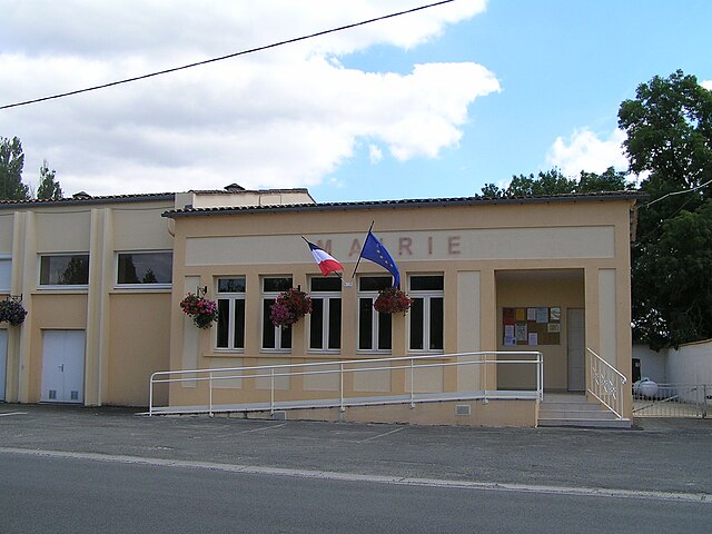
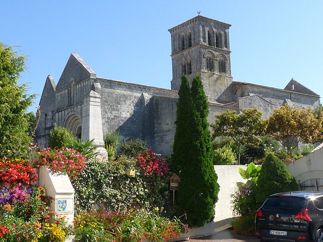
Brie-sous-Archiac (Brie-sous-Archiac)

- commune in Charente-Maritime, France
- Country:

- Postal Code: 17520
- Coordinates: 45° 28' 20" N, 0° 17' 35" E


- GPS tracks (wikiloc): [Link]
- Area: 7.49 sq km
- Population: 237
- Web site: http://briesousarchiac.fr
- Wikipedia en: wiki(en)
- Wikipedia: wiki(fr)
- Wikidata storage: Wikidata: Q1078563
- Wikipedia Commons Category: [Link]
- Freebase ID: [/m/02wc8ys]
- GeoNames ID: Alt: [6447399]
- SIREN number: [211700661]
- BnF ID: [15248928t]
- INSEE municipality code: 17066
Shares border with regions:


Saint-Eugène
- commune in Charente-Maritime, France
- Country:
- Postal Code: 17520
- Coordinates: 45° 30' 27" N, 0° 17' 9" E
- GPS tracks (wikiloc): [Link]
- Area: 16.56 sq km
- Population: 277

Guimps
- commune in Charente, France
- Country:
- Postal Code: 16300
- Coordinates: 45° 27' 48" N, 0° 14' 49" E
- GPS tracks (wikiloc): [Link]
- Area: 12.6 sq km
- Population: 474


Saint-Ciers-Champagne
- commune in Charente-Maritime, France
- Country:
- Postal Code: 17520
- Coordinates: 45° 26' 34" N, 0° 17' 57" E
- GPS tracks (wikiloc): [Link]
- Area: 18.08 sq km
- Population: 414


Allas-Champagne
- commune in Charente-Maritime, France
- Country:
- Postal Code: 17500
- Coordinates: 45° 28' 11" N, 0° 20' 7" E
- GPS tracks (wikiloc): [Link]
- Area: 7.65 sq km
- Population: 285

Arthenac
- commune in Charente-Maritime, France
- Country:
- Postal Code: 17520
- Coordinates: 45° 30' 54" N, 0° 18' 52" E
- GPS tracks (wikiloc): [Link]
- Area: 12.66 sq km
- Population: 339