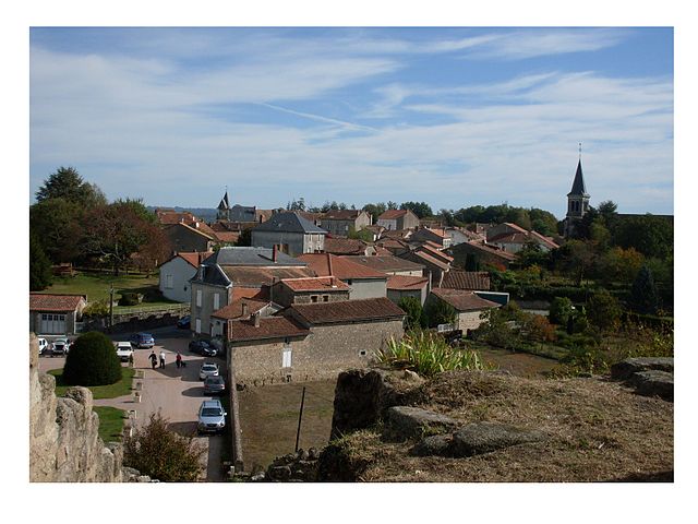
Busserolles (Busserolles)
- commune in Dordogne, France
- Country:

- Postal Code: 24360
- Coordinates: 45° 40' 35" N, 0° 38' 32" E


- GPS tracks (wikiloc): [Link]
- Area: 32.46 sq km
- Population: 506
- Web site: http://busserollesenperigordvert.a3w.fr
- Wikipedia en: wiki(en)
- Wikipedia: wiki(fr)
- Wikidata storage: Wikidata: Q472023
- Wikipedia Commons Category: [Link]
- Freebase ID: [/m/03mfg4w]
- Freebase ID: [/m/03mfg4w]
- GeoNames ID: Alt: [3029449]
- GeoNames ID: Alt: [3029449]
- SIREN number: [212400709]
- SIREN number: [212400709]
- BnF ID: [15251721c]
- BnF ID: [15251721c]
- PACTOLS thesaurus ID: [pcrtoqiimAiLnw]
- PACTOLS thesaurus ID: [pcrtoqiimAiLnw]
- INSEE municipality code: 24070
- INSEE municipality code: 24070
Shares border with regions:


Maisonnais-sur-Tardoire
- commune in Haute-Vienne, France
- Country:

- Postal Code: 87440
- Coordinates: 45° 42' 44" N, 0° 41' 23" E


- GPS tracks (wikiloc): [Link]
- Area: 31.89 sq km
- Population: 398
- Web site: [Link]


Roussines
- commune in Charente, France
- Country:

- Postal Code: 16310
- Coordinates: 45° 43' 23" N, 0° 37' 14" E


- GPS tracks (wikiloc): [Link]
- Area: 16.08 sq km
- Population: 266


Écuras
- commune in Charente, France
- Country:

- Postal Code: 16220
- Coordinates: 45° 41' 1" N, 0° 34' 1" E


- GPS tracks (wikiloc): [Link]
- Area: 24.22 sq km
- Population: 589


Bussière-Badil
- commune in Dordogne, France
- Country:

- Postal Code: 24360
- Coordinates: 45° 39' 6" N, 0° 36' 19" E


- GPS tracks (wikiloc): [Link]
- Area: 19.86 sq km
- Population: 402


Champniers-et-Reilhac
- commune in Dordogne, France
- Country:

- Postal Code: 24360
- Coordinates: 45° 40' 21" N, 0° 43' 52" E


- GPS tracks (wikiloc): [Link]
- AboveSeaLevel: 298 м m
- Area: 20.4 sq km
- Population: 478
- Web site: [Link]


Piégut-Pluviers
- commune in Dordogne, France
- Country:

- Postal Code: 24360
- Coordinates: 45° 37' 21" N, 0° 41' 22" E


- GPS tracks (wikiloc): [Link]
- Area: 18.11 sq km
- Population: 1182
- Web site: [Link]
