Campagne-lès-Wardrecques (Campagne-lès-Wardrecques)

- commune in Pas-de-Calais, France
- Country:

- Postal Code: 62120
- Coordinates: 50° 43' 10" N, 2° 20' 0" E


- GPS tracks (wikiloc): [Link]
- Area: 4.69 sq km
- Population: 1219
- Web site: http://www.campagne-lez-wardrecques.fr/
- Wikipedia en: wiki(en)
- Wikipedia: wiki(fr)
- Wikidata storage: Wikidata: Q244378
- Wikipedia Commons Category: [Link]
- Freebase ID: [/m/02x83t2]
- GeoNames ID: Alt: [6439428]
- SIREN number: [216202051]
- BnF ID: [15268647p]
- INSEE municipality code: 62205
Shares border with regions:

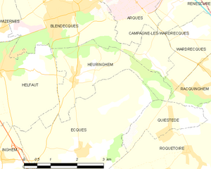
Heuringhem
- commune in Pas-de-Calais, France
- Country:
- Postal Code: 62575
- Coordinates: 50° 41' 42" N, 2° 16' 57" E
- GPS tracks (wikiloc): [Link]
- Area: 5.79 sq km
- Population: 1340


Blendecques
- commune in Pas-de-Calais, France
- Country:
- Postal Code: 62575
- Coordinates: 50° 43' 1" N, 2° 16' 35" E
- GPS tracks (wikiloc): [Link]
- Area: 9.56 sq km
- Population: 5072


Renescure
- commune in Nord, France
- Country:
- Postal Code: 59173
- Coordinates: 50° 43' 50" N, 2° 22' 16" E
- GPS tracks (wikiloc): [Link]
- Area: 18.93 sq km
- Population: 2084
- Web site: [Link]


Arques
- commune in Pas-de-Calais, France
- Country:
- Postal Code: 62510
- Coordinates: 50° 44' 8" N, 2° 18' 9" E
- GPS tracks (wikiloc): [Link]
- Area: 22.41 sq km
- Population: 9932
- Web site: [Link]

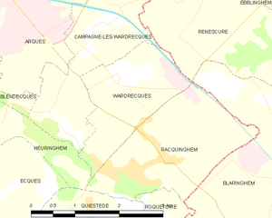
Wardrecques
- commune in Pas-de-Calais, France
- Country:
- Postal Code: 62120
- Coordinates: 50° 42' 38" N, 2° 20' 38" E
- GPS tracks (wikiloc): [Link]
- Area: 3.72 sq km
- Population: 1323
- Web site: [Link]