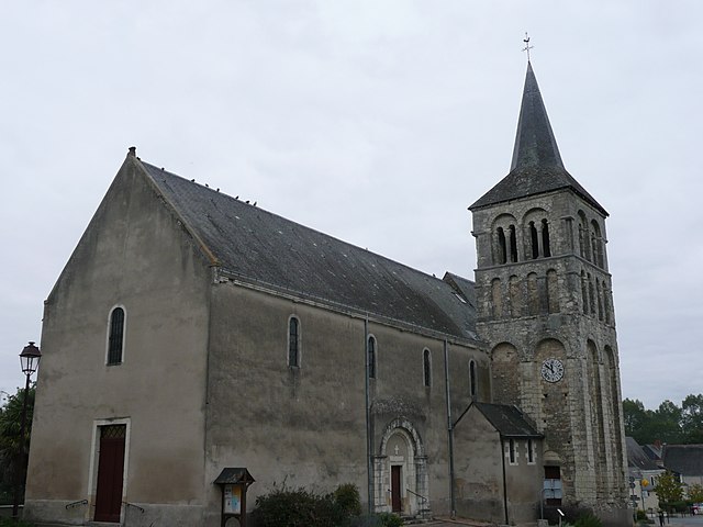
canton of Angers-Nord-Est (canton d'Angers-Nord-Est)
- canton of France (until March 2015)
- Country:

- Capital: Angers
- Coordinates: 47° 31' 15" N, 0° 29' 5" E


- GPS tracks (wikiloc): [Link]
- Wikidata storage: Wikidata: Q1568069
- INSEE canton code: [4901]
Includes regions:


Villevêque
- commune in Maine-et-Loire, France
- Country:

- Postal Code: 49140
- Coordinates: 47° 33' 39" N, 0° 25' 24" E


- GPS tracks (wikiloc): [Link]
- Area: 28.03 sq km
- Population: 2879
- Web site: [Link]


Saint-Sylvain-d'Anjou
- former commune in Maine-et-Loire, France
- Country:

- Postal Code: 49480
- Coordinates: 47° 31' 11" N, 0° 28' 18" E


- GPS tracks (wikiloc): [Link]
- Area: 21.26 sq km
- Population: 4571
- Web site: [Link]


Pellouailles-les-Vignes
- former commune in Maine-et-Loire, France
- Country:

- Postal Code: 49112
- Coordinates: 47° 31' 20" N, 0° 26' 27" E


- GPS tracks (wikiloc): [Link]
- Area: 3.57 sq km
- Population: 2396


Écouflant
- commune in Maine-et-Loire, France
- Country:

- Postal Code: 49000
- Coordinates: 47° 31' 52" N, 0° 31' 40" E


- GPS tracks (wikiloc): [Link]
- Area: 17.02 sq km
- Population: 3983