canton of Bourg-Lastic (canton de Bourg-Lastic)
- canton of France (until March 2015)
- Country:

- Capital: Bourg-Lastic
- Coordinates: 45° 39' 15" N, 2° 35' 37" E


- GPS tracks (wikiloc): [Link]
- Wikidata storage: Wikidata: Q285458
- VIAF ID: Alt: [246984848]
- INSEE canton code: [6307]
Includes regions:


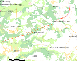
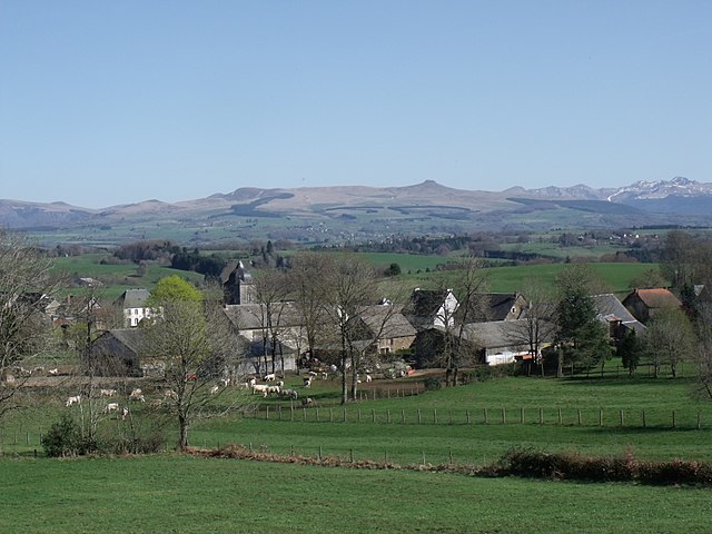
Saint-Sulpice
- commune in Puy-de-Dôme, France
- Country:

- Postal Code: 63760
- Coordinates: 45° 38' 37" N, 2° 37' 38" E


- GPS tracks (wikiloc): [Link]
- Area: 18.22 sq km
- Population: 87
Savennes
- commune in Puy-de-Dôme, France
- Country:

- Postal Code: 63750
- Coordinates: 45° 35' 24" N, 2° 29' 43" E


- GPS tracks (wikiloc): [Link]
- Area: 16.81 sq km
- Population: 93


Messeix
- commune in Puy-de-Dôme, France
- Country:

- Postal Code: 63750
- Coordinates: 45° 37' 1" N, 2° 32' 30" E


- GPS tracks (wikiloc): [Link]
- Area: 39.32 sq km
- Population: 1066
- Web site: [Link]


Bourg-Lastic
- commune in Puy-de-Dôme, France
- Country:

- Postal Code: 63760
- Coordinates: 45° 38' 50" N, 2° 33' 30" E


- GPS tracks (wikiloc): [Link]
- Area: 40.46 sq km
- Population: 881
- Web site: [Link]
Lastic
- commune in Puy-de-Dôme, France
- Country:

- Postal Code: 63760
- Coordinates: 45° 42' 37" N, 2° 34' 5" E


- GPS tracks (wikiloc): [Link]
- AboveSeaLevel: 740 м m
- Area: 17.31 sq km
- Population: 110


Briffons
- commune in Puy-de-Dôme, France
- Country:

- Postal Code: 63820
- Coordinates: 45° 41' 56" N, 2° 39' 23" E


- GPS tracks (wikiloc): [Link]
- Area: 40.32 sq km
- Population: 279


Saint-Julien-Puy-Lavèze
- commune in Puy-de-Dôme, France
- Country:

- Postal Code: 63820
- Coordinates: 45° 39' 55" N, 2° 40' 23" E


- GPS tracks (wikiloc): [Link]
- Area: 29.09 sq km
- Population: 360
- Web site: [Link]