canton of Crèvecœur-le-Grand (canton de Crèvecœur-le-Grand)
- canton of France (until March 2015)
- Country:

- Capital: Crèvecœur-le-Grand
- Coordinates: 49° 36' 53" N, 2° 8' 8" E


- GPS tracks (wikiloc): [Link]
- Wikidata storage: Wikidata: Q623546
- INSEE canton code: [6013]
Includes regions:


Francastel
- commune in Oise, France
- Country:

- Postal Code: 60480
- Coordinates: 49° 35' 21" N, 2° 8' 58" E


- GPS tracks (wikiloc): [Link]
- Area: 12.58 sq km
- Population: 477
- Web site: [Link]


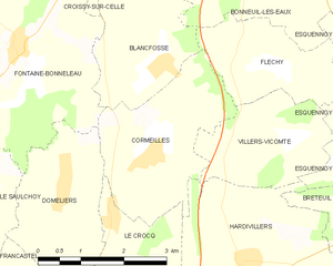
Cormeilles
- commune in Oise, France
- Country:

- Postal Code: 60120
- Coordinates: 49° 38' 22" N, 2° 11' 32" E


- GPS tracks (wikiloc): [Link]
- Area: 7.21 sq km
- Population: 445
Conteville
- commune in Oise, France
- Country:

- Postal Code: 60360
- Coordinates: 49° 39' 3" N, 2° 2' 57" E


- GPS tracks (wikiloc): [Link]
- AboveSeaLevel: 318 м m
- Area: 3.62 sq km
- Population: 80


Auchy-la-Montagne
- commune in Oise, France
- Country:

- Postal Code: 60360
- Coordinates: 49° 34' 28" N, 2° 7' 3" E


- GPS tracks (wikiloc): [Link]
- Area: 8.05 sq km
- Population: 564


Le Gallet
- commune in Oise, France
- Country:

- Postal Code: 60360
- Coordinates: 49° 37' 37" N, 2° 6' 30" E


- GPS tracks (wikiloc): [Link]
- Area: 3.47 sq km
- Population: 172
- Web site: [Link]


Lachaussée-du-Bois-d'Écu
- commune in Oise, France
- Country:

- Postal Code: 60480
- Coordinates: 49° 33' 32" N, 2° 10' 25" E


- GPS tracks (wikiloc): [Link]
- AboveSeaLevel: 155 м m
- Area: 5.92 sq km
- Population: 220


Le Saulchoy
- commune in Oise, France
- Country:

- Postal Code: 60360
- Coordinates: 49° 38' 1" N, 2° 8' 24" E


- GPS tracks (wikiloc): [Link]
- AboveSeaLevel: 174 м m
- Area: 4.97 sq km
- Population: 102


Rotangy
- commune in Oise, France
- Country:

- Postal Code: 60360
- Coordinates: 49° 34' 57" N, 2° 4' 58" E


- GPS tracks (wikiloc): [Link]
- Area: 9.78 sq km
- Population: 212
Viefvillers
- commune in Oise, France
- Country:

- Postal Code: 60360
- Coordinates: 49° 36' 49" N, 2° 7' 45" E


- GPS tracks (wikiloc): [Link]
- Area: 4.09 sq km
- Population: 172


Luchy
- commune in Oise, France
- Country:

- Postal Code: 60360
- Coordinates: 49° 33' 17" N, 2° 7' 7" E


- GPS tracks (wikiloc): [Link]
- Area: 10.79 sq km
- Population: 630


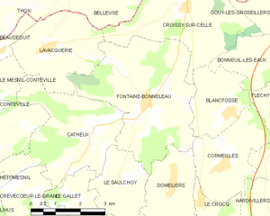
Fontaine-Bonneleau
- commune in Oise, France
- Country:

- Postal Code: 60360
- Coordinates: 49° 39' 40" N, 2° 8' 59" E


- GPS tracks (wikiloc): [Link]
- Area: 16.37 sq km
- Population: 258
- Web site: [Link]
Maulers
- commune in Oise, France
- Country:

- Postal Code: 60480
- Coordinates: 49° 32' 51" N, 2° 10' 1" E


- GPS tracks (wikiloc): [Link]
- Area: 7.62 sq km
- Population: 309


Blancfossé
- commune in Oise, France
- Country:

- Postal Code: 60120
- Coordinates: 49° 39' 29" N, 2° 11' 45" E


- GPS tracks (wikiloc): [Link]
- Area: 5.16 sq km
- Population: 142


Croissy-sur-Celle
- commune in Oise, France
- Country:

- Postal Code: 60120
- Coordinates: 49° 41' 46" N, 2° 10' 15" E


- GPS tracks (wikiloc): [Link]
- Area: 11.1 sq km
- Population: 280
- Web site: [Link]
Muidorge
- commune in Oise, France
- Country:

- Postal Code: 60480
- Coordinates: 49° 31' 51" N, 2° 8' 25" E


- GPS tracks (wikiloc): [Link]
- Area: 5.34 sq km
- Population: 137


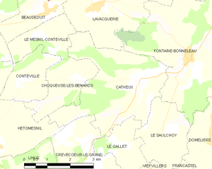
Catheux
- commune in Oise, France
- Country:

- Postal Code: 60360
- Coordinates: 49° 39' 10" N, 2° 7' 14" E


- GPS tracks (wikiloc): [Link]
- Area: 11.78 sq km
- Population: 114


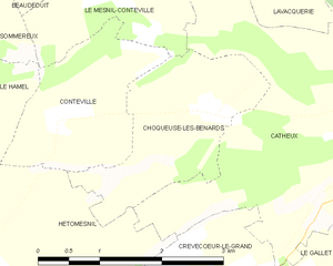
Choqueuse-les-Bénards
- commune in Oise, France
- Country:

- Postal Code: 60360
- Coordinates: 49° 39' 8" N, 2° 4' 55" E


- GPS tracks (wikiloc): [Link]
- Area: 4.16 sq km
- Population: 104
- Web site: [Link]


Doméliers
- commune in Oise, France
- Country:

- Postal Code: 60360
- Coordinates: 49° 38' 0" N, 2° 9' 49" E


- GPS tracks (wikiloc): [Link]
- Area: 6.13 sq km
- Population: 241
- Web site: [Link]


Crèvecœur-le-Grand
- commune in Oise, France
- Country:

- Postal Code: 60360
- Coordinates: 49° 36' 30" N, 2° 4' 41" E


- GPS tracks (wikiloc): [Link]
- Area: 12.3 sq km
- Population: 3539
- Web site: [Link]


Le Crocq
- commune in Oise, France
- Country:

- Postal Code: 60120
- Coordinates: 49° 37' 37" N, 2° 10' 46" E


- GPS tracks (wikiloc): [Link]
- Area: 3.1 sq km
- Population: 183
