canton of Fay-sur-Lignon (canton de Fay-sur-Lignon)
- canton of France (until March 2015)
- Country:

- Capital: Fay-sur-Lignon
- Coordinates: 44° 59' 0" N, 4° 13' 37" E


- GPS tracks (wikiloc): [Link]
- Wikidata storage: Wikidata: Q248983
- INSEE canton code: [4309]
Includes regions:


Champclause
- commune in Haute-Loire, France
- Country:
- Postal Code: 43260
- Coordinates: 45° 1' 21" N, 4° 10' 33" E
- GPS tracks (wikiloc): [Link]
- Area: 22.27 sq km
- Population: 200


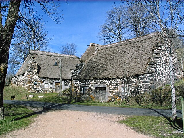
Chaudeyrolles
- commune in Haute-Loire, France
- Country:
- Postal Code: 43430
- Coordinates: 44° 57' 1" N, 4° 12' 11" E
- GPS tracks (wikiloc): [Link]
- Area: 18.9 sq km
- Population: 100


Les Estables
- commune in Haute-Loire, France
- Country:
- Postal Code: 43150
- Coordinates: 44° 54' 16" N, 4° 9' 16" E
- GPS tracks (wikiloc): [Link]
- Area: 33.94 sq km
- Population: 332

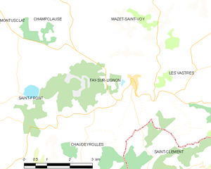
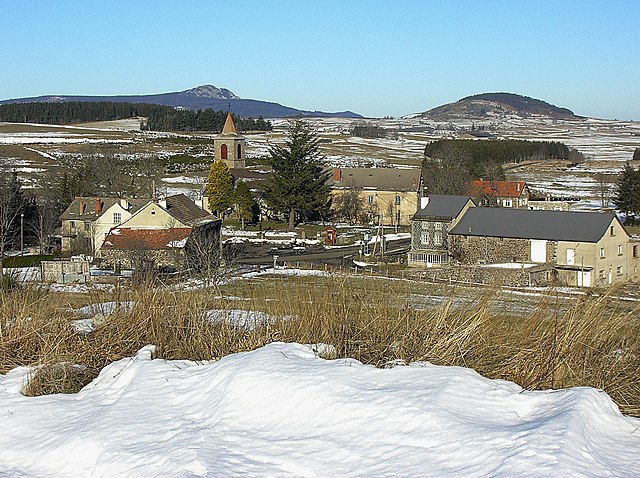
Fay-sur-Lignon
- commune in Haute-Loire, France
- Country:
- Postal Code: 43430
- Coordinates: 44° 59' 11" N, 4° 13' 35" E
- GPS tracks (wikiloc): [Link]
- Area: 13.24 sq km
- Population: 374

Saint-Front
- commune in Haute-Loire, France
- Country:
- Postal Code: 43550
- Coordinates: 44° 58' 38" N, 4° 8' 33" E
- GPS tracks (wikiloc): [Link]
- Area: 52.33 sq km
- Population: 412
- Web site: [Link]

Les Vastres
- commune in Haute-Loire, France
- Country:
- Postal Code: 43430
- Coordinates: 44° 59' 21" N, 4° 15' 40" E
- GPS tracks (wikiloc): [Link]
- AboveSeaLevel: 1100 м m
- Area: 30.34 sq km
- Population: 199