canton of Formerie (canton de Formerie)
- canton of France (until March 2015)
- Country:

- Capital: Formerie
- Coordinates: 49° 39' 45" N, 1° 46' 31" E


- GPS tracks (wikiloc): [Link]
- Wikidata storage: Wikidata: Q623079
- Library of Congress authority ID: Alt: [nr95040673]
- INSEE canton code: [6015]
Includes regions:
Campeaux
- commune in Oise, France
- Country:

- Postal Code: 60220
- Coordinates: 49° 37' 10" N, 1° 45' 23" E


- GPS tracks (wikiloc): [Link]
- Area: 11.46 sq km
- Population: 537


Gourchelles
- commune in Oise, France
- Country:

- Postal Code: 60220
- Coordinates: 49° 43' 46" N, 1° 46' 48" E


- GPS tracks (wikiloc): [Link]
- Area: 2.23 sq km
- Population: 128
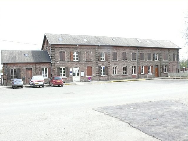

Abancourt
- commune in Oise, France
- Country:

- Postal Code: 60220
- Coordinates: 49° 41' 49" N, 1° 45' 54" E


- GPS tracks (wikiloc): [Link]
- Area: 6.01 sq km
- Population: 647
Boutavent
- commune in Oise, France
- Country:

- Postal Code: 60220
- Coordinates: 49° 38' 36" N, 1° 45' 23" E


- GPS tracks (wikiloc): [Link]
- AboveSeaLevel: 220 м m
- Area: 4.37 sq km
- Population: 106
Blargies
- commune in Oise, France
- Country:

- Postal Code: 60220
- Coordinates: 49° 40' 21" N, 1° 45' 55" E


- GPS tracks (wikiloc): [Link]
- Area: 10.05 sq km
- Population: 536


Broquiers
- commune in Oise, France
- Country:

- Postal Code: 60220
- Coordinates: 49° 39' 35" N, 1° 49' 47" E


- GPS tracks (wikiloc): [Link]
- Area: 2.92 sq km
- Population: 236
Omécourt
- commune in Oise, France
- Country:

- Postal Code: 60220
- Coordinates: 49° 36' 37" N, 1° 50' 51" E


- GPS tracks (wikiloc): [Link]
- Area: 8.71 sq km
- Population: 199


Saint-Arnoult
- commune in Oise, France
- Country:

- Postal Code: 60220
- Coordinates: 49° 37' 56" N, 1° 49' 14" E


- GPS tracks (wikiloc): [Link]
- Area: 7.9 sq km
- Population: 216
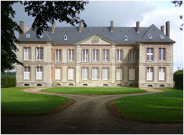
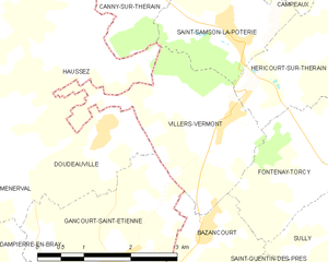
Villers-Vermont
- commune in Oise, France
- Country:

- Postal Code: 60380
- Coordinates: 49° 34' 36" N, 1° 44' 38" E


- GPS tracks (wikiloc): [Link]
- Area: 6.61 sq km
- Population: 127


Quincampoix-Fleuzy
- commune in Oise, France
- Country:

- Postal Code: 60220
- Coordinates: 49° 44' 48" N, 1° 46' 21" E


- GPS tracks (wikiloc): [Link]
- Area: 9.22 sq km
- Population: 402


Romescamps
- commune in Oise, France
- Country:

- Postal Code: 60220
- Coordinates: 49° 42' 41" N, 1° 48' 17" E


- GPS tracks (wikiloc): [Link]
- Area: 10.48 sq km
- Population: 577
Mureaumont
- commune in Oise, France
- Country:

- Postal Code: 60220
- Coordinates: 49° 37' 45" N, 1° 46' 37" E


- GPS tracks (wikiloc): [Link]
- Area: 4.74 sq km
- Population: 148


Monceaux-l'Abbaye
- commune in Oise, France
- Country:

- Postal Code: 60220
- Coordinates: 49° 39' 4" N, 1° 47' 31" E


- GPS tracks (wikiloc): [Link]
- Area: 4.57 sq km
- Population: 231


Lannoy-Cuillère
- commune in Oise, France
- Country:

- Postal Code: 60220
- Coordinates: 49° 42' 28" N, 1° 44' 52" E


- GPS tracks (wikiloc): [Link]
- Area: 14.98 sq km
- Population: 280
- Web site: [Link]


Héricourt-sur-Thérain
- commune in Oise, France
- Country:

- Postal Code: 60380
- Coordinates: 49° 34' 56" N, 1° 45' 38" E


- GPS tracks (wikiloc): [Link]
- Area: 4.35 sq km
- Population: 130
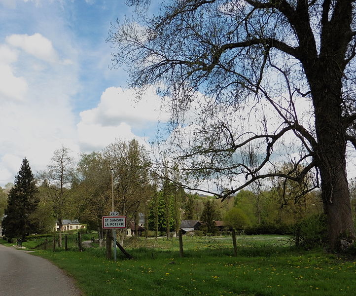

Saint-Samson-la-Poterie
- commune in Oise, France
- Country:

- Postal Code: 60220
- Coordinates: 49° 35' 38" N, 1° 44' 31" E


- GPS tracks (wikiloc): [Link]
- AboveSeaLevel: 150 м m
- Area: 4.3 sq km
- Population: 255
Escles-Saint-Pierre
- commune in Oise, France
- Country:

- Postal Code: 60220
- Coordinates: 49° 44' 28" N, 1° 48' 12" E


- GPS tracks (wikiloc): [Link]
- Area: 3.37 sq km
- Population: 158
Bouvresse
- commune in Oise, France
- Country:

- Postal Code: 60220
- Coordinates: 49° 39' 9" N, 1° 45' 18" E


- GPS tracks (wikiloc): [Link]
- Area: 2.8 sq km
- Population: 167
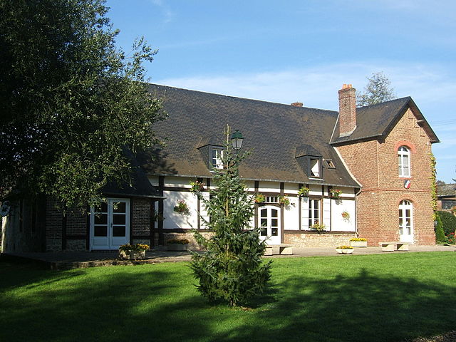

Canny-sur-Thérain
- commune in Oise, France
- Country:

- Postal Code: 60220
- Coordinates: 49° 36' 5" N, 1° 42' 56" E


- GPS tracks (wikiloc): [Link]
- Area: 5.92 sq km
- Population: 230
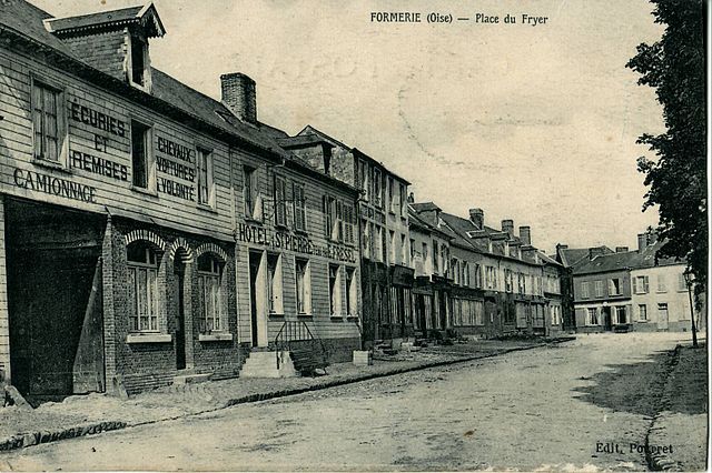

Formerie
- commune in Oise, France
- Country:

- Postal Code: 60220
- Coordinates: 49° 39' 2" N, 1° 43' 47" E


- GPS tracks (wikiloc): [Link]
- Area: 8.45 sq km
- Population: 2056
- Web site: [Link]


Moliens
- commune in Oise, France
- Country:

- Postal Code: 60220
- Coordinates: 49° 39' 59" N, 1° 48' 35" E


- GPS tracks (wikiloc): [Link]
- Area: 9.39 sq km
- Population: 1135

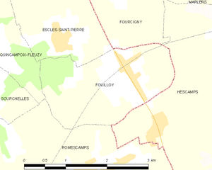
Fouilloy
- commune in Oise, France
- Country:

- Postal Code: 60220
- Coordinates: 49° 43' 59" N, 1° 49' 36" E


- GPS tracks (wikiloc): [Link]
- Area: 4.62 sq km
- Population: 195


Saint-Valery
- commune in Oise, France
- Country:

- Postal Code: 60220
- Coordinates: 49° 43' 34" N, 1° 44' 4" E


- GPS tracks (wikiloc): [Link]
- AboveSeaLevel: 180 м m
- Area: 4.52 sq km
- Population: 65