canton of La Loupe (canton de La Loupe)
- canton of France (until March 2015)
- Country:

- Capital: La Loupe
- Coordinates: 48° 26' 46" N, 1° 2' 48" E


- GPS tracks (wikiloc): [Link]
- Wikidata storage: Wikidata: Q602212
- INSEE canton code: [2817]
Includes regions:


Champrond-en-Gâtine
- commune in Eure-et-Loir, France
- Country:
- Postal Code: 28240
- Coordinates: 48° 24' 8" N, 1° 4' 32" E
- GPS tracks (wikiloc): [Link]
- Area: 33.68 sq km
- Population: 638
- Web site: [Link]

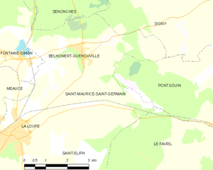
Saint-Maurice-Saint-Germain
- commune in Eure-et-Loir, France
- Country:
- Postal Code: 28240
- Coordinates: 48° 29' 50" N, 1° 4' 38" E
- GPS tracks (wikiloc): [Link]
- Area: 12.19 sq km
- Population: 439
- Web site: [Link]


Le Thieulin
- commune in Eure-et-Loir, France
- Country:
- Postal Code: 28240
- Coordinates: 48° 24' 28" N, 1° 8' 0" E
- GPS tracks (wikiloc): [Link]
- Area: 11.71 sq km
- Population: 440


Les Corvées-les-Yys
- commune in Eure-et-Loir, France
- Country:
- Postal Code: 28240
- Coordinates: 48° 21' 44" N, 1° 8' 24" E
- GPS tracks (wikiloc): [Link]
- Area: 13.51 sq km
- Population: 315
- Web site: [Link]


Saint-Éliph
- commune in Eure-et-Loir, France
- Country:
- Postal Code: 28240
- Coordinates: 48° 27' 1" N, 1° 1' 33" E
- GPS tracks (wikiloc): [Link]
- Area: 23.46 sq km
- Population: 928


Montireau
- commune in Eure-et-Loir, France
- Country:
- Postal Code: 28240
- Coordinates: 48° 24' 29" N, 1° 1' 35" E
- GPS tracks (wikiloc): [Link]
- Area: 10.1 sq km
- Population: 142


Friaize
- commune in Eure-et-Loir, France
- Country:
- Postal Code: 28240
- Coordinates: 48° 25' 53" N, 1° 8' 3" E
- GPS tracks (wikiloc): [Link]
- Area: 10.53 sq km
- Population: 238

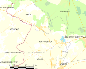
Fontaine-Simon
- commune in Eure-et-Loir, France
- Country:
- Postal Code: 28240
- Coordinates: 48° 30' 13" N, 1° 1' 9" E
- GPS tracks (wikiloc): [Link]
- Area: 16.88 sq km
- Population: 949


La Loupe
- commune in Eure-et-Loir, France
- Country:
- Postal Code: 28240
- Coordinates: 48° 28' 18" N, 1° 0' 55" E
- GPS tracks (wikiloc): [Link]
- Area: 7.27 sq km
- Population: 3471
- Web site: [Link]


Montlandon
- commune in Eure-et-Loir, France
- Country:
- Postal Code: 28240
- Coordinates: 48° 23' 33" N, 1° 1' 25" E
- GPS tracks (wikiloc): [Link]
- Area: 2.87 sq km
- Population: 247


Vaupillon
- commune in Eure-et-Loir, France
- Country:
- Postal Code: 28240
- Coordinates: 48° 27' 37" N, 0° 59' 42" E
- GPS tracks (wikiloc): [Link]
- Area: 12.47 sq km
- Population: 453


Saint-Victor-de-Buthon
- commune in Eure-et-Loir, France
- Country:
- Postal Code: 28240
- Coordinates: 48° 24' 31" N, 0° 58' 7" E
- GPS tracks (wikiloc): [Link]
- Area: 27.72 sq km
- Population: 513
- Web site: [Link]


Manou
- commune in Eure-et-Loir, France
- Country:
- Postal Code: 28240
- Coordinates: 48° 31' 8" N, 0° 58' 57" E
- GPS tracks (wikiloc): [Link]
- Area: 13.38 sq km
- Population: 590


Meaucé
- commune in Eure-et-Loir, France
- Country:
- Postal Code: 28240
- Coordinates: 48° 29' 8" N, 1° 0' 7" E
- GPS tracks (wikiloc): [Link]
- Area: 11.33 sq km
- Population: 556