canton of Plœuc-sur-Lié (canton de Plœuc-sur-Lié)
.png)
- canton of France
- Country:

- Capital: Plœuc-sur-Lié
- Coordinates: 48° 20' 50" N, 2° 45' 23" E


- GPS tracks (wikiloc): [Link]
- Wikidata storage: Wikidata: Q1726737
- INSEE canton code: [2234]
Includes regions:

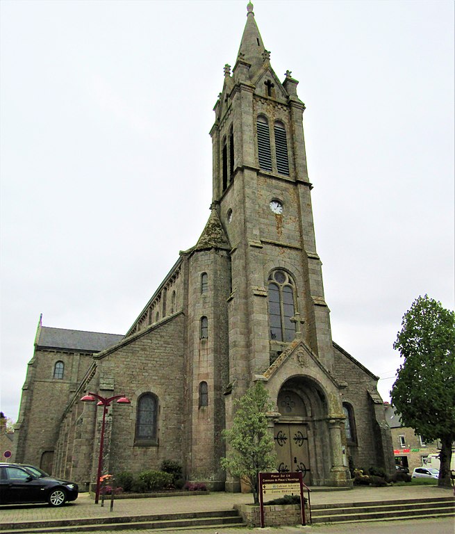
L'Hermitage-Lorge
- former commune in Côtes-d'Armor, France
- Country:
- Postal Code: 22150
- Coordinates: 48° 19' 54" N, 2° 49' 44" E
- GPS tracks (wikiloc): [Link]
- Area: 37.82 sq km
- Population: 753


Plaintel
- commune in Côtes-d'Armor, France
- Country:
- Postal Code: 22940
- Coordinates: 48° 24' 26" N, 2° 49' 2" E
- GPS tracks (wikiloc): [Link]
- Area: 26.76 sq km
- Population: 4285
- Web site: [Link]

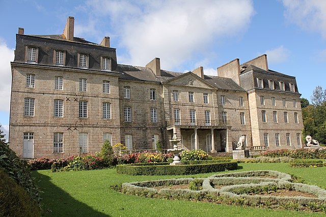
Plœuc-sur-Lié
- former commune in Côtes-d'Armor, France
- Country:
- Postal Code: 22150
- Coordinates: 48° 21' 0" N, 2° 45' 0" E
- GPS tracks (wikiloc): [Link]
- Area: 44.45 sq km
- Population: 3302
- Web site: [Link]


La Harmoye
- commune in Côtes-d'Armor, France
- Country:
- Postal Code: 22320
- Coordinates: 48° 20' 8" N, 2° 57' 41" E
- GPS tracks (wikiloc): [Link]
- Area: 17.67 sq km
- Population: 378


Lanfains
- commune in Côtes-d'Armor, France
- Country:
- Postal Code: 22800
- Coordinates: 48° 21' 11" N, 2° 54' 51" E
- GPS tracks (wikiloc): [Link]
- Area: 21.87 sq km
- Population: 1079
- Web site: [Link]

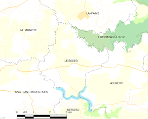
Le Bodéo
- commune in Côtes-d'Armor, France
- Country:
- Postal Code: 22320
- Coordinates: 48° 19' 20" N, 2° 56' 0" E
- GPS tracks (wikiloc): [Link]
- Area: 9.97 sq km
- Population: 162