canton of Saint-Amant-Tallende (canton de Saint-Amant-Tallende)
- canton of France (until March 2015)
- Country:

- Capital: Saint-Amant-Tallende
- Coordinates: 45° 38' 57" N, 3° 2' 11" E


- GPS tracks (wikiloc): [Link]
- Wikidata storage: Wikidata: Q1533006
- INSEE canton code: [6337]
Includes regions:
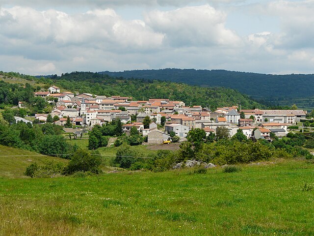

Cournols
- commune in Puy-de-Dôme, France
- Country:
- Postal Code: 63450
- Coordinates: 45° 38' 50" N, 3° 1' 59" E
- GPS tracks (wikiloc): [Link]
- Area: 10.76 sq km
- Population: 237


Le Vernet-Sainte-Marguerite
- commune in Puy-de-Dôme, France
- Country:
- Postal Code: 63710
- Coordinates: 45° 36' 34" N, 2° 56' 53" E
- GPS tracks (wikiloc): [Link]
- Area: 25.03 sq km
- Population: 301
- Web site: [Link]
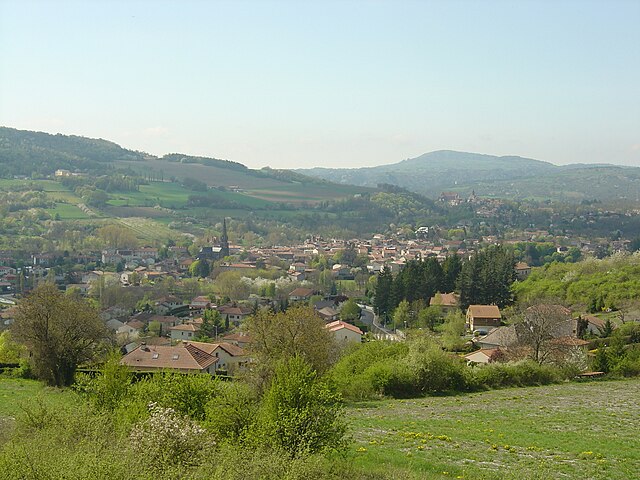

Saint-Amant-Tallende
- commune in Puy-de-Dôme, France
- Country:
- Postal Code: 63450
- Coordinates: 45° 40' 8" N, 3° 6' 28" E
- GPS tracks (wikiloc): [Link]
- Area: 4.97 sq km
- Population: 1769


Saint-Saturnin
- commune in Puy-de-Dôme, France
- Country:
- Postal Code: 63450
- Coordinates: 45° 39' 34" N, 3° 5' 32" E
- GPS tracks (wikiloc): [Link]
- Area: 16.86 sq km
- Population: 1164
- Web site: [Link]


Olloix
- commune in Puy-de-Dôme, France
- Country:
- Postal Code: 63450
- Coordinates: 45° 37' 17" N, 3° 2' 57" E
- GPS tracks (wikiloc): [Link]
- Area: 11.92 sq km
- Population: 317


Aydat
- commune in Puy-de-Dôme, France
- Country:
- Postal Code: 63970
- Coordinates: 45° 39' 37" N, 2° 58' 23" E
- GPS tracks (wikiloc): [Link]
- Area: 50.22 sq km
- Population: 2329
- Web site: [Link]


Chanonat
- commune in Puy-de-Dôme, France
- Country:
- Postal Code: 63450
- Coordinates: 45° 41' 33" N, 3° 5' 44" E
- GPS tracks (wikiloc): [Link]
- Area: 12.7 sq km
- Population: 1662
- Web site: [Link]


Saulzet-le-Froid
- commune in Puy-de-Dôme, France
- Country:
- Postal Code: 63970
- Coordinates: 45° 38' 30" N, 2° 55' 8" E
- GPS tracks (wikiloc): [Link]
- Area: 28.21 sq km
- Population: 261


Saint-Sandoux
- commune in Puy-de-Dôme, France
- Country:
- Postal Code: 63450
- Coordinates: 45° 38' 26" N, 3° 6' 29" E
- GPS tracks (wikiloc): [Link]
- AboveSeaLevel: 600 м m
- Area: 9.84 sq km
- Population: 942
- Web site: [Link]