canton of Cenon (canton de Cenon)

- canton of France
- Country:

- Capital: Cenon
- Coordinates: 44° 51' 28" N, 0° 31' 54" E


- GPS tracks (wikiloc): [Link]
- Population: 44938
- Wikipedia en: wiki(en)
- Wikipedia: wiki(fr)
- Wikidata storage: Wikidata: Q1724831
- INSEE canton code: [3309]
Includes regions:

Montussan
- commune in Gironde, France
- Country:
- Postal Code: 33450
- Coordinates: 44° 52' 54" N, 0° 25' 43" E
- GPS tracks (wikiloc): [Link]
- Area: 8.3 sq km
- Population: 3107
- Web site: [Link]
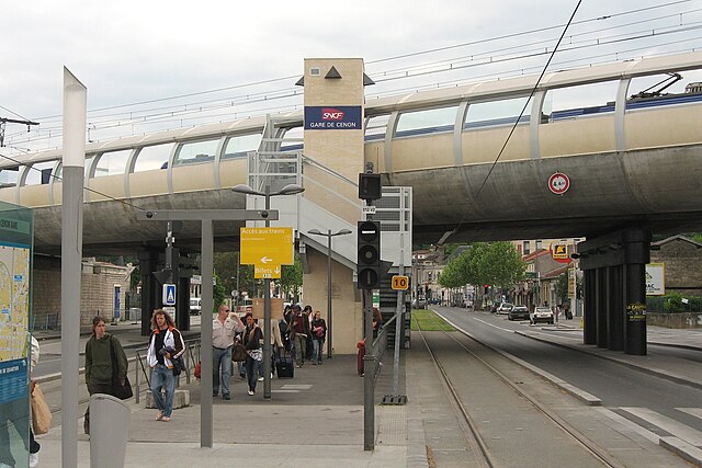

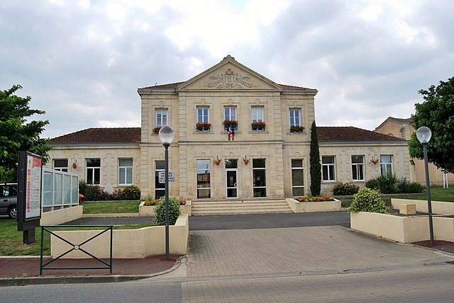
Cenon
- commune in Gironde, France
- Country:
- Postal Code: 33150
- Coordinates: 44° 51' 25" N, 0° 31' 58" E
- GPS tracks (wikiloc): [Link]
- Area: 5.52 sq km
- Population: 24547
- Web site: [Link]


Yvrac
- commune in Gironde, France
- Country:
- Postal Code: 33370
- Coordinates: 44° 52' 47" N, 0° 27' 41" E
- GPS tracks (wikiloc): [Link]
- Area: 8.48 sq km
- Population: 2807
- Web site: [Link]

Artigues-près-Bordeaux
- commune in Gironde, France
- Country:
- Postal Code: 33370
- Coordinates: 44° 51' 0" N, 0° 31' 0" E
- GPS tracks (wikiloc): [Link]
- Area: 7.28 sq km
- Population: 8373
- Web site: [Link]

Beychac-et-Caillau
- commune in Gironde, France
- Country:
- Postal Code: 33750
- Coordinates: 44° 52' 12" N, 0° 22' 16" E
- GPS tracks (wikiloc): [Link]
- Area: 15.62 sq km
- Population: 2161
- Web site: [Link]