canton of Herbiers (canton des Herbiers)

- canton of France
- Country:

- Capital: Les Herbiers
- Coordinates: 46° 51' 8" N, 1° 1' 27" E


- GPS tracks (wikiloc): [Link]
- Population: 44013
- Wikipedia en: wiki(en)
- Wikipedia: wiki(fr)
- Wikidata storage: Wikidata: Q1526002
- INSEE canton code: [8506]
Includes regions:
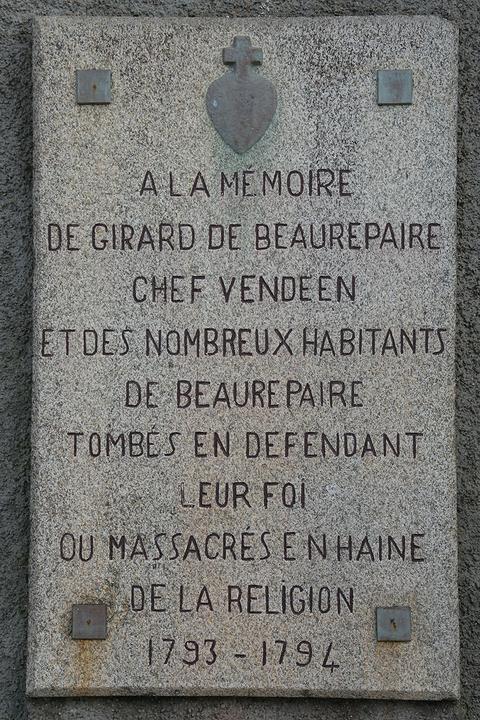

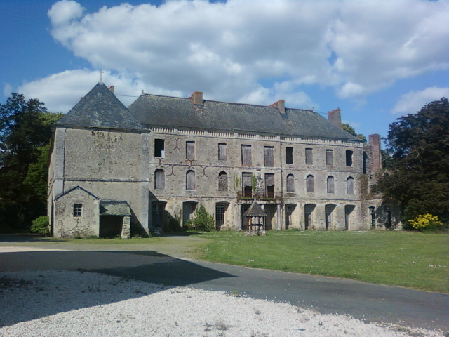
Beaurepaire
- commune in Vendée, France
- Country:
- Postal Code: 85500
- Coordinates: 46° 54' 38" N, 1° 5' 20" E
- GPS tracks (wikiloc): [Link]
- Area: 24.19 sq km
- Population: 2336
- Web site: [Link]


Vendrennes
- commune in Vendée, France
- Country:
- Postal Code: 85250
- Coordinates: 46° 49' 31" N, 1° 7' 26" E
- GPS tracks (wikiloc): [Link]
- Area: 16.92 sq km
- Population: 1672
- Web site: [Link]

Saint-Paul-en-Pareds
- commune in Vendée, France
- Country:
- Postal Code: 85500
- Coordinates: 46° 49' 23" N, 0° 59' 6" E
- GPS tracks (wikiloc): [Link]
- Area: 12.32 sq km
- Population: 1337
- Web site: [Link]


Saint-Mars-la-Réorthe
- commune in Vendée, France
- Country:
- Postal Code: 85590
- Coordinates: 46° 51' 42" N, 0° 55' 33" E
- GPS tracks (wikiloc): [Link]
- Area: 9.28 sq km
- Population: 958
- Web site: [Link]


Les Epesses
- commune in Vendée, France
- Country:
- Postal Code: 85590
- Coordinates: 46° 52' 59" N, 0° 54' 2" E
- GPS tracks (wikiloc): [Link]
- Area: 31.29 sq km
- Population: 2812
- Web site: [Link]


Les Herbiers
- commune in Vendée, France
- Country:
- Postal Code: 85500
- Coordinates: 46° 52' 16" N, 1° 0' 49" E
- GPS tracks (wikiloc): [Link]
- Area: 88.78 sq km
- Population: 15992
- Web site: [Link]

Mesnard-la-Barotière
- commune in Vendée, France
- Country:
- Postal Code: 85500
- Coordinates: 46° 51' 33" N, 1° 5' 59" E
- GPS tracks (wikiloc): [Link]
- Area: 11.83 sq km
- Population: 1380
- Web site: [Link]

Mouchamps
- commune in Vendée, France
- Country:
- Postal Code: 85640
- Coordinates: 46° 46' 50" N, 1° 3' 47" E
- GPS tracks (wikiloc): [Link]
- Area: 55 sq km
- Population: 2843
- Web site: [Link]