canton of Méru (canton de Méru)

- canton of France
- Country:

- Capital: Méru
- Coordinates: 49° 14' 16" N, 2° 5' 29" E


- GPS tracks (wikiloc): [Link]
- Population: 46560
- Wikipedia en: wiki(en)
- Wikipedia: wiki(fr)
- Wikidata storage: Wikidata: Q1726430
- INSEE canton code: [6012]
Includes regions:


Fosseuse
- former commune in Oise, France
- Country:
- Postal Code: 60540
- Coordinates: 49° 12' 48" N, 2° 11' 9" E
- GPS tracks (wikiloc): [Link]
- Area: 4.44 sq km
- Population: 738

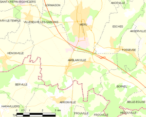
Amblainville
- commune in Oise, France
- Country:
- Postal Code: 60110
- Coordinates: 49° 12' 11" N, 2° 7' 18" E
- GPS tracks (wikiloc): [Link]
- Area: 20.98 sq km
- Population: 1725


Monts
- commune in Oise, France
- Country:
- Postal Code: 60119
- Coordinates: 49° 12' 58" N, 2° 0' 57" E
- GPS tracks (wikiloc): [Link]
- Area: 3.67 sq km
- Population: 179


Pouilly
- commune in Oise, France
- Country:
- Postal Code: 60790
- Coordinates: 49° 16' 20" N, 2° 1' 49" E
- GPS tracks (wikiloc): [Link]
- Area: 3.81 sq km
- Population: 149
- Web site: [Link]


Neuville-Bosc
- commune in Oise, France
- Country:
- Postal Code: 60119
- Coordinates: 49° 11' 58" N, 2° 0' 42" E
- GPS tracks (wikiloc): [Link]
- Area: 8.89 sq km
- Population: 537
- Web site: [Link]

Montherlant
- former commune in Oise, France
- Country:
- Postal Code: 60790
- Coordinates: 49° 16' 44" N, 2° 3' 1" E
- GPS tracks (wikiloc): [Link]
- Area: 5.18 sq km


Lormaison
- commune in Oise, France
- Country:
- Postal Code: 60110
- Coordinates: 49° 15' 24" N, 2° 6' 20" E
- GPS tracks (wikiloc): [Link]
- Area: 4.98 sq km
- Population: 1297

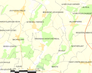
Fresneaux-Montchevreuil
- commune in Oise, France
- Country:
- Postal Code: 60240
- Coordinates: 49° 16' 51" N, 2° 0' 11" E
- GPS tracks (wikiloc): [Link]
- Area: 11.18 sq km
- Population: 770


Hénonville
- commune in Oise, France
- Country:
- Postal Code: 60119
- Coordinates: 49° 12' 25" N, 2° 3' 11" E
- GPS tracks (wikiloc): [Link]
- Area: 6.84 sq km
- Population: 827


Andeville
- commune in Oise, France
- Country:
- Postal Code: 60570
- Coordinates: 49° 15' 34" N, 2° 9' 54" E
- GPS tracks (wikiloc): [Link]
- Area: 4.17 sq km
- Population: 3161
- Web site: [Link]


Saint-Crépin-Ibouvillers
- former commune in Oise, France
- Country:
- Postal Code: 60149
- Coordinates: 49° 15' 48" N, 2° 4' 21" E
- GPS tracks (wikiloc): [Link]
- Area: 14.43 sq km
- Population: 1460
- Web site: [Link]


Chavençon
- commune in Oise, France
- Country:
- Postal Code: 60240
- Coordinates: 49° 11' 15" N, 1° 59' 41" E
- GPS tracks (wikiloc): [Link]
- Area: 5.76 sq km
- Population: 169


Esches
- commune in Oise, France
- Country:
- Postal Code: 60110
- Coordinates: 49° 13' 7" N, 2° 9' 55" E
- GPS tracks (wikiloc): [Link]
- Area: 7.69 sq km
- Population: 1543
- Web site: [Link]

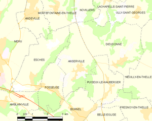
Anserville
- former commune in Oise, France
- Country:
- Postal Code: 60540
- Coordinates: 49° 13' 36" N, 2° 12' 36" E
- GPS tracks (wikiloc): [Link]
- Area: 6.81 sq km
- Population: 450


Ivry-le-Temple
- commune in Oise, France
- Country:
- Postal Code: 60173
- Coordinates: 49° 13' 43" N, 2° 1' 48" E
- GPS tracks (wikiloc): [Link]
- Area: 12.47 sq km
- Population: 722


Corbeil-Cerf
- commune in Oise, France
- Country:
- Postal Code: 60110
- Coordinates: 49° 16' 47" N, 2° 6' 13" E
- GPS tracks (wikiloc): [Link]
- Area: 3.95 sq km
- Population: 356


Ressons-l'Abbaye
- former commune in Oise, France
- Country:
- Postal Code: 60790
- Coordinates: 49° 18' 8" N, 2° 5' 16" E
- GPS tracks (wikiloc): [Link]
- AboveSeaLevel: 141 м m
- Area: 5.43 sq km
- Population: 125


Méru
- commune in Oise, France
- Country:
- Postal Code: 60110
- Coordinates: 49° 14' 9" N, 2° 8' 6" E
- GPS tracks (wikiloc): [Link]
- AboveSeaLevel: 102 м m
- Area: 22.83 sq km
- Population: 14703
- Web site: [Link]


Villeneuve-les-Sablons
- commune in Oise, France
- Country:
- Postal Code: 60175
- Coordinates: 49° 14' 14" N, 2° 4' 36" E
- GPS tracks (wikiloc): [Link]
- Area: 4.43 sq km
- Population: 1210


Bornel
- ancienne commune in Oise, France
- Country:
- Postal Code: 60540
- Coordinates: 49° 11' 54" N, 2° 12' 33" E
- GPS tracks (wikiloc): [Link]
- Area: 12.48 sq km
- Population: 3553
- Web site: [Link]