canton of Pont-du-Château (canton de Pont-du-Château)

- canton of France
- Country:

- Capital: Pont-du-Château
- Coordinates: 45° 48' 0" N, 3° 15' 0" E


- GPS tracks (wikiloc): [Link]
- Population: 20680
- Wikipedia en: wiki(en)
- Wikipedia: wiki(fr)
- Wikidata storage: Wikidata: Q660868
- INSEE canton code: [6324]
Includes regions:


Les Martres-d'Artière
- commune in Puy-de-Dôme, France
- Country:
- Postal Code: 63430
- Coordinates: 45° 50' 6" N, 3° 15' 41" E
- GPS tracks (wikiloc): [Link]
- AboveSeaLevel: 320 м m
- Area: 14.96 sq km
- Population: 2213
- Web site: [Link]


Lussat
- commune in Puy-de-Dôme, France
- Country:
- Postal Code: 63360
- Coordinates: 45° 50' 19" N, 3° 12' 55" E
- GPS tracks (wikiloc): [Link]
- Area: 9.17 sq km
- Population: 920
- Web site: [Link]
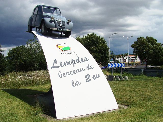

Lempdes
- commune in Puy-de-Dôme, France
- Country:
- Postal Code: 63370
- Coordinates: 45° 46' 16" N, 3° 11' 37" E
- GPS tracks (wikiloc): [Link]
- Area: 12.3 sq km
- Population: 8315
- Web site: [Link]


Pont-du-Château
- commune in Puy-de-Dôme, France
- Country:
- Postal Code: 63430
- Coordinates: 45° 47' 54" N, 3° 14' 54" E
- GPS tracks (wikiloc): [Link]
- Area: 21.61 sq km
- Population: 10889
- Web site: [Link]


Dallet
- commune in Puy-de-Dôme, France
- Country:
- Postal Code: 63111
- Coordinates: 45° 46' 14" N, 3° 14' 20" E
- GPS tracks (wikiloc): [Link]
- AboveSeaLevel: 320 м m
- Area: 6.67 sq km
- Population: 1476