Cap-d'Ail (Cap-d'Ail)
- commune in Alpes-Maritimes, France
- Country:

- Postal Code: 06320
- Coordinates: 43° 43' 16" N, 7° 24' 20" E


- GPS tracks (wikiloc): [Link]
- Area: 2.04 sq km
- Population: 4709
- Web site: http://www.cap-dail.fr
- Wikipedia en: wiki(en)
- Wikipedia: wiki(fr)
- Wikidata storage: Wikidata: Q274193
- Wikipedia Commons Category: [Link]
- Freebase ID: [/m/06tsx8]
- Freebase ID: [/m/06tsx8]
- GeoNames ID: Alt: [6446686]
- GeoNames ID: Alt: [6446686]
- SIREN number: [210600326]
- SIREN number: [210600326]
- VIAF ID: Alt: [137313206]
- VIAF ID: Alt: [137313206]
- archINFORM location ID: [17016]
- archINFORM location ID: [17016]
- Library of Congress authority ID: Alt: [n88160844]
- Library of Congress authority ID: Alt: [n88160844]
- WOEID: [582983]
- WOEID: [582983]
- Quora topic ID: [Cap-dAil]
- Quora topic ID: [Cap-dAil]
- INSEE municipality code: 06032
- INSEE municipality code: 06032
Shares border with regions:


Èze
- commune in Alpes-Maritimes, France
- Country:
- Postal Code: 06360
- Coordinates: 43° 43' 40" N, 7° 21' 40" E
- GPS tracks (wikiloc): [Link]
- AboveSeaLevel: 424 м m
- Area: 9.47 sq km
- Population: 2343
- Web site: [Link]
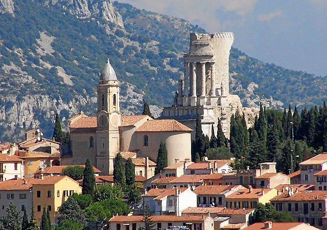
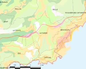
La Turbie
- commune in Alpes-Maritimes, France
- Country:
- Postal Code: 06320
- Coordinates: 43° 44' 44" N, 7° 24' 3" E
- GPS tracks (wikiloc): [Link]
- Area: 7.42 sq km
- Population: 3119
- Web site: [Link]