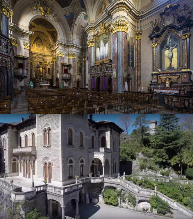
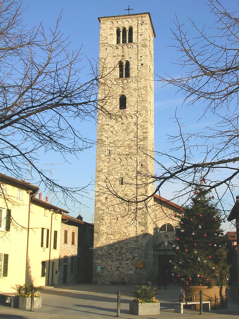
Caslino d'Erba (Caslino d'Erba)
.svg)
- Italian comune
 Hiking in Caslino d'Erba
Caslino d'Erba is a charming village located in the province of Como, Italy, and it serves as a gateway to great hiking opportunities in the surrounding area, particularly in the scenic region of the Italian Alps. Here's what you need to know about hiking in and around Caslino d'Erba:
Trails and Nature
-
Altopiano di Erba: One of the most popular areas for hiking near Caslino d'Erba is the Altopiano di Erba, a high plateau offering stunning views of the surrounding mountains and valleys. The trails here vary in difficulty, making it suitable for hikers of all skill levels.
-
Sanctuary of the Madonna del Ghisallo: This nearby sanctuary is a popular destination for both hikers and cyclists. The trails leading to and from the sanctuary offer beautiful panoramas and opportunities to explore the rich natural landscape.
-
Mount Cornizzolo: A bit further away, Mount Cornizzolo is a fantastic hiking destination providing challenging trails and rewarding views of Lake Como and the surrounding mountains. The ascent offers a thrilling adventure for experienced hikers.
-
Nature Reserves: In the area, you can also find nature reserves such as the Montevecchia and Curone Valley Park, which feature well-marked trails and diverse fauna and flora.
Tips for Hiking in the Area
-
Maps and Guides: It's advisable to carry detailed maps or a GPS device, as some trails may not be well-marked. Local tourist information centers may provide maps or guided tours.
-
Weather Awareness: The weather in the mountains can change rapidly, so always check forecasts before heading out. Dress in layers and be prepared for varying conditions.
-
Local Regulations: Be mindful of local regulations regarding biodiversity conservation and trail use. Stick to designated paths to minimize your impact on the environment.
-
Hydration and Supplies: Carry enough water and snacks, especially on longer hikes, as amenities may be scarce in remote areas.
-
Safety Precautions: Inform someone about your hiking plans and estimated return time. Hiking with a partner or group is always safer, particularly on more challenging trails.
Best Time to Hike
The ideal months for hiking around Caslino d'Erba are generally late spring through early autumn (May to October) when the weather is milder and the trails are more accessible. However, certain areas may offer winter hiking opportunities for those equipped with snowshoes or crampons.
Whether you're looking for a leisurely walk or a challenging adventure, Caslino d'Erba and its surroundings provide a rich experience for hikers looking to enjoy nature and breathtaking Alpine landscapes.
- Country:

- Postal Code: 22030
- Local Dialing Code: 031
- Licence Plate Code: CO
- Coordinates: 45° 50' 0" N, 9° 14' 0" E


- GPS tracks (wikiloc): [Link]
- AboveSeaLevel: 461 м m
- Area: 6.89 sq km
- Population: 1676
- Web site: http://www.comune.caslinoderba.co.it
- Wikipedia en: wiki(en)
- Wikipedia: wiki(it)
- Wikidata storage: Wikidata: Q244340
- Wikipedia Commons Category: [Link]
- Freebase ID: [/m/0gh_nc]
- GeoNames ID: Alt: [6542485]
- VIAF ID: Alt: [294843601]
- OSM relation ID: [46302]
- UN/LOCODE: [ITCBK]
- ISTAT ID: 013052
- Italian cadastre code: B974
Shares border with regions:


Asso
- Italian comune
Hiking in Asso
Asso, a picturesque village located in the province of Como, Lombardy, Italy, offers a stunning backdrop for hiking enthusiasts. Nestled in the foothills of the Alps, Asso is surrounded by beautiful landscapes, characterized by lush green valleys, charming forests, and breathtaking mountain views....
- Country:
- Postal Code: 22033
- Local Dialing Code: 031
- Licence Plate Code: CO
- Coordinates: 45° 52' 0" N, 9° 16' 0" E
- GPS tracks (wikiloc): [Link]
- AboveSeaLevel: 427 м m
- Area: 6.51 sq km
- Population: 3579
- Web site: [Link]
Caglio
- Italian comune
Hiking in Caglio
Caglio, located in the Italian region of Lombardy, is a charming destination for hiking enthusiasts. Nestled in the hills of the Triangolo Lariano, it offers a picturesque landscape with lush forests, meadows, and panoramic views that are characteristic of the area....
- Country:
- Postal Code: 22030
- Local Dialing Code: 031
- Licence Plate Code: CO
- Coordinates: 45° 52' 0" N, 9° 14' 0" E
- GPS tracks (wikiloc): [Link]
- AboveSeaLevel: 800 м m
- Area: 6.52 sq km
- Population: 454
- Web site: [Link]

Canzo
- Italian comune
Hiking in Canzo
Canzo, located in the Lombardy region of Italy, is a fantastic destination for hiking enthusiasts. Nestled in the foothills of the Italian Alps, it offers stunning landscapes, varied terrains, and plenty of trails suitable for different skill levels. Here are some highlights about hiking in Canzo:...
- Country:
- Postal Code: 22035
- Local Dialing Code: 031
- Licence Plate Code: CO
- Coordinates: 45° 51' 0" N, 9° 16' 0" E
- GPS tracks (wikiloc): [Link]
- AboveSeaLevel: 402 м m
- Area: 11.11 sq km
- Population: 5081
- Web site: [Link]
Castelmarte
- Italian comune
Hiking in Castelmarte
Castelmarte is a charming area located in the Italian region of Lombardy, near Lake Como. It's surrounded by beautiful landscapes, making it an excellent destination for hiking enthusiasts. Here are some key points to consider when planning a hike in Castelmarte:...
- Country:
- Postal Code: 22030
- Local Dialing Code: 031
- Licence Plate Code: CO
- Coordinates: 45° 50' 0" N, 9° 14' 0" E
- GPS tracks (wikiloc): [Link]
- AboveSeaLevel: 459 м m
- Area: 1.97 sq km
- Population: 1288
- Web site: [Link]

Erba
- Italian comune
Hiking in Erba
Erba, located in the province of Como in Lombardy, is an excellent destination for hiking enthusiasts. Surrounded by the picturesque landscapes of the Pre-Alps, the area offers a variety of trails suitable for all skill levels, from leisurely walks to more challenging hikes....
- Country:
- Postal Code: 22036
- Local Dialing Code: 031
- Licence Plate Code: CO
- Coordinates: 45° 49' 0" N, 9° 13' 0" E
- GPS tracks (wikiloc): [Link]
- AboveSeaLevel: 320 м m
- Area: 17.80 sq km
- Population: 16346
- Web site: [Link]


Faggeto Lario
- Italian comune
Hiking in Faggeto Lario
Faggeto Lario, located along the eastern shore of Lake Como in Italy, is a picturesque village surrounded by stunning landscapes, making it a great destination for hiking enthusiasts. The area offers a variety of hiking trails that cater to different skill levels, from easy walks to more challenging hikes....
- Country:
- Postal Code: 22020
- Local Dialing Code: 031
- Licence Plate Code: CO
- Coordinates: 45° 51' 0" N, 9° 10' 0" E
- GPS tracks (wikiloc): [Link]
- AboveSeaLevel: 533 м m
- Area: 17.52 sq km
- Population: 1213
- Web site: [Link]


Ponte Lambro
- Italian comune
Hiking in Ponte Lambro
Ponte Lambro is a charming town located in the province of Como, in the Lombardy region of northern Italy. It is situated near the foothills of the Alps and the scenic landscapes of Lake Como, making it an attractive destination for hiking enthusiasts....
- Country:
- Postal Code: 22037
- Local Dialing Code: 031
- Licence Plate Code: CO
- Coordinates: 45° 50' 0" N, 9° 14' 0" E
- GPS tracks (wikiloc): [Link]
- AboveSeaLevel: 365 м m
- Area: 3.38 sq km
- Population: 4303
- Web site: [Link]
Rezzago
- Italian comune
Hiking in Rezzago
Rezzago is a charming village located in the Lombardy region of northern Italy, nestled in the foothills of the Italian Alps. The area is known for its beautiful natural scenery, making it an excellent destination for hiking enthusiasts....
- Country:
- Postal Code: 22030
- Local Dialing Code: 031
- Licence Plate Code: CO
- Coordinates: 45° 52' 0" N, 9° 15' 0" E
- GPS tracks (wikiloc): [Link]
- AboveSeaLevel: 674 м m
- Area: 4.08 sq km
- Population: 308
- Web site: [Link]