Castres (Castres)
- commune in Aisne, France
- Country:

- Postal Code: 02680
- Coordinates: 49° 48' 15" N, 3° 14' 15" E


- GPS tracks (wikiloc): [Link]
- Area: 5.71 sq km
- Population: 243
- Wikipedia en: wiki(en)
- Wikipedia: wiki(fr)
- Wikidata storage: Wikidata: Q764905
- Wikipedia Commons Category: [Link]
- Freebase ID: [/m/03m4d0r]
- Freebase ID: [/m/03m4d0r]
- GeoNames ID: Alt: [6424774]
- GeoNames ID: Alt: [6424774]
- SIREN number: [210201299]
- SIREN number: [210201299]
- MusicBrainz area ID: [caaacd6e-8d15-4336-9b50-8f49fe256747]
- MusicBrainz area ID: [caaacd6e-8d15-4336-9b50-8f49fe256747]
- INSEE municipality code: 02142
- INSEE municipality code: 02142
Shares border with regions:

Fontaine-lès-Clercs
- commune in Aisne, France
- Country:
- Postal Code: 02680
- Coordinates: 49° 48' 21" N, 3° 13' 22" E
- GPS tracks (wikiloc): [Link]
- Area: 5.33 sq km
- Population: 268

Dallon
- commune in Aisne, France
- Country:
- Postal Code: 02680
- Coordinates: 49° 49' 16" N, 3° 14' 29" E
- GPS tracks (wikiloc): [Link]
- Area: 5.81 sq km
- Population: 437
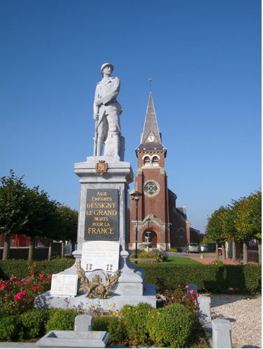
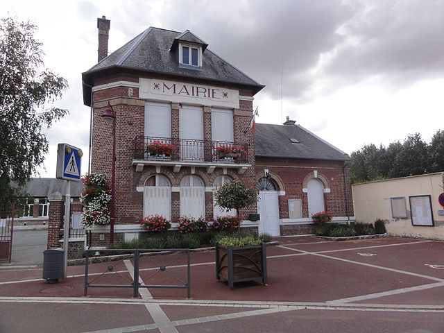
Essigny-le-Grand
- commune in Aisne, France
- Country:
- Postal Code: 02690
- Coordinates: 49° 46' 36" N, 3° 16' 38" E
- GPS tracks (wikiloc): [Link]
- Area: 13.38 sq km
- Population: 1056
- Web site: [Link]

Contescourt
- commune in Aisne, France
- Country:
- Postal Code: 02680
- Coordinates: 49° 47' 33" N, 3° 13' 51" E
- GPS tracks (wikiloc): [Link]
- Area: 3.42 sq km
- Population: 62
Grugies
- commune in Aisne, France
- Country:
- Postal Code: 02680
- Coordinates: 49° 48' 48" N, 3° 15' 58" E
- GPS tracks (wikiloc): [Link]
- Area: 5.08 sq km
- Population: 1313