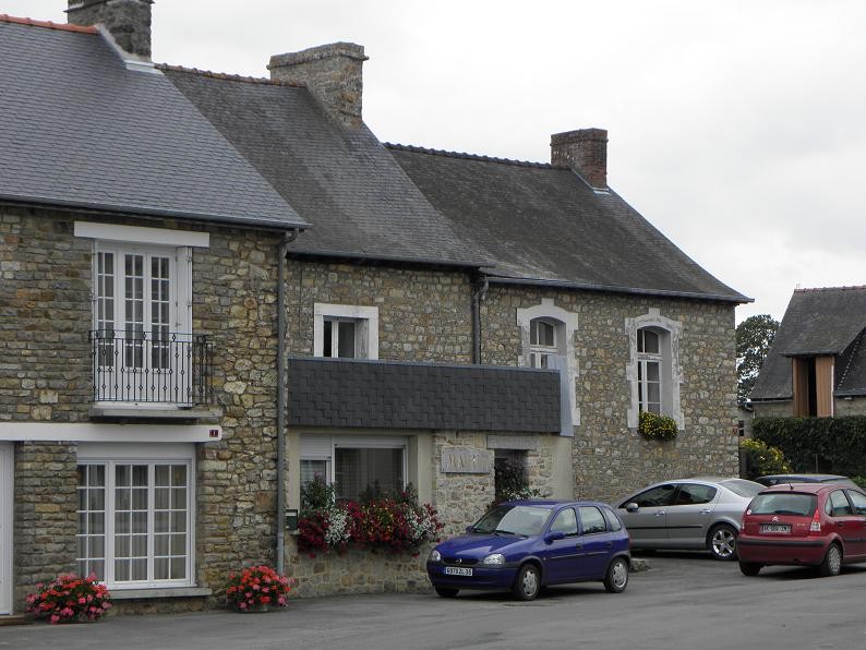
Châtillon-en-Vendelais (Châtillon-en-Vendelais)

- commune in Ille-et-Vilaine, France
- Country:

- Postal Code: 35210
- Coordinates: 48° 13' 30" N, 1° 10' 43" E


- GPS tracks (wikiloc): [Link]
- AboveSeaLevel: 134 м m
- Area: 32.03 sq km
- Population: 1700
- Web site: http://www.chatillon-en-vendelais.fr
- Wikipedia en: wiki(en)
- Wikipedia: wiki(fr)
- Wikidata storage: Wikidata: Q474397
- Wikipedia Commons Category: [Link]
- Freebase ID: [/m/03mdxkz]
- Freebase ID: [/m/03mdxkz]
- GeoNames ID: Alt: [6448550]
- GeoNames ID: Alt: [6448550]
- SIREN number: [213500721]
- SIREN number: [213500721]
- BnF ID: [152570169]
- BnF ID: [152570169]
- VIAF ID: Alt: [235651150]
- VIAF ID: Alt: [235651150]
- OSM relation ID: [108429]
- OSM relation ID: [108429]
- INSEE municipality code: 35072
- INSEE municipality code: 35072
- GNS Unique Feature ID: -1419276
- GNS Unique Feature ID: -1419276
Shares border with regions:

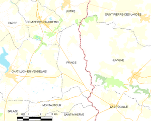
Princé
- commune in Ille-et-Vilaine, France
- Country:
- Postal Code: 35210
- Coordinates: 48° 12' 59" N, 1° 5' 18" E
- GPS tracks (wikiloc): [Link]
- Area: 12.36 sq km
- Population: 374
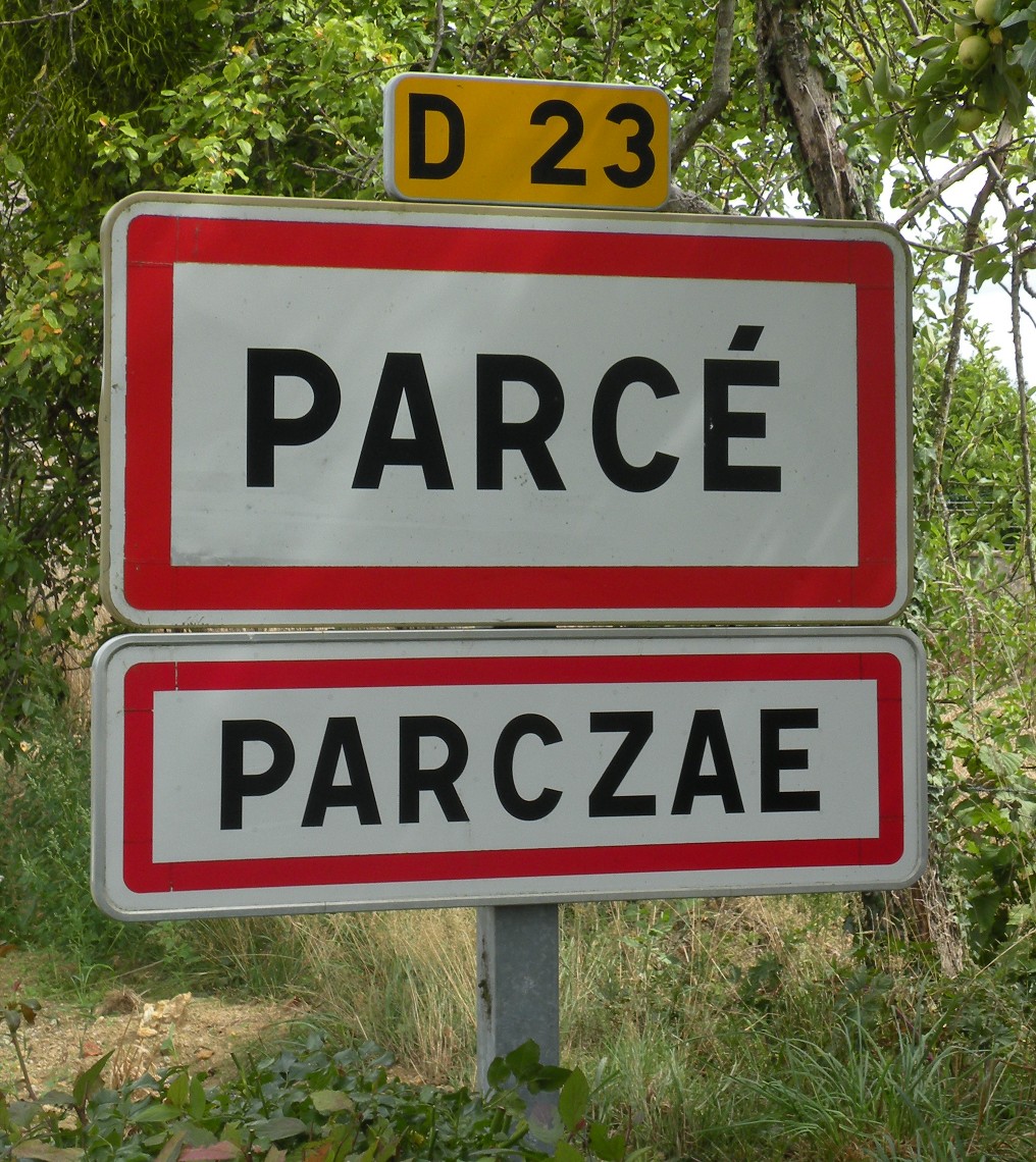

Parcé
- commune in Ille-et-Vilaine, France
- Country:
- Postal Code: 35210
- Coordinates: 48° 16' 23" N, 1° 12' 1" E
- GPS tracks (wikiloc): [Link]
- Area: 16.88 sq km
- Population: 651
- Web site: [Link]


Montautour
- commune in Ille-et-Vilaine, France
- Country:
- Postal Code: 35210
- Coordinates: 48° 12' 14" N, 1° 8' 49" E
- GPS tracks (wikiloc): [Link]
- Area: 6.9 sq km
- Population: 261


Saint-Christophe-des-Bois
- commune in Ille-et-Vilaine, France
- Country:
- Postal Code: 35210
- Coordinates: 48° 13' 36" N, 1° 14' 51" E
- GPS tracks (wikiloc): [Link]
- Area: 9.26 sq km
- Population: 599
- Web site: [Link]

Montreuil-des-Landes
- commune in Ille-et-Vilaine, France
- Country:
- Postal Code: 35210
- Coordinates: 48° 14' 49" N, 1° 13' 24" E
- GPS tracks (wikiloc): [Link]
- AboveSeaLevel: 110 м m
- Area: 9.42 sq km
- Population: 247


Dompierre-du-Chemin
- commune in Ille-et-Vilaine, France
- Country:
- Postal Code: 35210
- Coordinates: 48° 16' 1" N, 1° 8' 37" E
- GPS tracks (wikiloc): [Link]
- Area: 9.68 sq km
- Population: 581
- Web site: [Link]


Balazé
- commune in Ille-et-Vilaine, France
- Country:
- Postal Code: 35500
- Coordinates: 48° 10' 5" N, 1° 11' 30" E
- GPS tracks (wikiloc): [Link]
- Area: 36.66 sq km
- Population: 2270
- Web site: [Link]