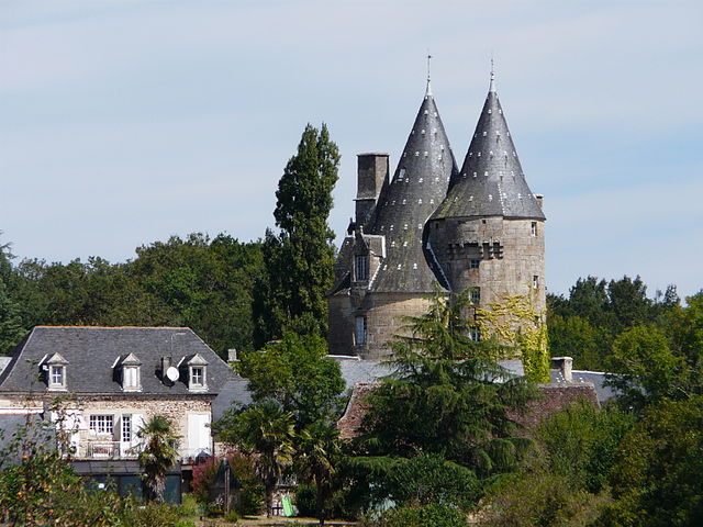
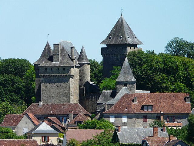
Châtres (Châtres)

- commune in Dordogne, France
- Country:

- Postal Code: 24120
- Coordinates: 45° 11' 12" N, 1° 12' 14" E


- GPS tracks (wikiloc): [Link]
- Area: 12.2 sq km
- Population: 190
- Wikipedia en: wiki(en)
- Wikipedia: wiki(fr)
- Wikidata storage: Wikidata: Q1013304
- Wikipedia Commons Category: [Link]
- Freebase ID: [/m/03mg5j_]
- Freebase ID: [/m/03mg5j_]
- GeoNames ID: Alt: [6429336]
- GeoNames ID: Alt: [6429336]
- SIREN number: [212401160]
- SIREN number: [212401160]
- INSEE municipality code: 24116
- INSEE municipality code: 24116
Shares border with regions:


La Chapelle-Saint-Jean
- commune in Dordogne, France
- Country:
- Postal Code: 24390
- Coordinates: 45° 11' 41" N, 1° 9' 45" E
- GPS tracks (wikiloc): [Link]
- Area: 3.7 sq km
- Population: 92


Nailhac
- commune in Dordogne, France
- Country:
- Postal Code: 24390
- Coordinates: 45° 13' 38" N, 1° 9' 10" E
- GPS tracks (wikiloc): [Link]
- Area: 19.35 sq km
- Population: 322

Peyrignac
- commune in Dordogne, France
- Country:
- Postal Code: 24210
- Coordinates: 45° 9' 21" N, 1° 11' 29" E
- GPS tracks (wikiloc): [Link]
- Area: 6.3 sq km
- Population: 583
- Web site: [Link]

Badefols-d'Ans
- commune in Dordogne, France
- Country:
- Postal Code: 24390
- Coordinates: 45° 13' 48" N, 1° 11' 51" E
- GPS tracks (wikiloc): [Link]
- Area: 18.34 sq km
- Population: 425