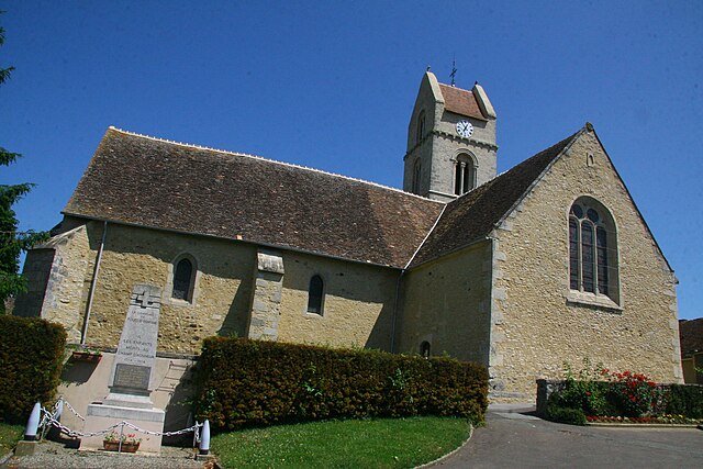
Chérancé (Chérancé)

- commune in Sarthe, France
- Country:

- Postal Code: 72170
- Coordinates: 48° 17' 13" N, 0° 10' 26" E


- GPS tracks (wikiloc): [Link]
- Area: 10.38 sq km
- Population: 376
- Wikipedia en: wiki(en)
- Wikipedia: wiki(fr)
- Wikidata storage: Wikidata: Q1228172
- Wikipedia Commons Category: [Link]
- Freebase ID: [/m/03qk1sn]
- GeoNames ID: Alt: [6614755]
- SIREN number: [217200781]
- INSEE municipality code: 72078
Shares border with regions:
Doucelles
- commune in Sarthe, France
- Country:
- Postal Code: 72170
- Coordinates: 48° 15' 23" N, 0° 10' 7" E
- GPS tracks (wikiloc): [Link]
- Area: 4.48 sq km
- Population: 252


René
- commune in Sarthe, France
- Country:
- Postal Code: 72260
- Coordinates: 48° 16' 43" N, 0° 13' 15" E
- GPS tracks (wikiloc): [Link]
- Area: 12.52 sq km
- Population: 375


Vivoin
- commune in Sarthe, France
- Country:
- Postal Code: 72170
- Coordinates: 48° 14' 1" N, 0° 9' 21" E
- GPS tracks (wikiloc): [Link]
- Area: 18.26 sq km
- Population: 943
- Web site: [Link]


Piacé
- commune in Sarthe, France
- Country:
- Postal Code: 72170
- Coordinates: 48° 15' 32" N, 0° 6' 50" E
- GPS tracks (wikiloc): [Link]
- Area: 10.12 sq km
- Population: 377


Coulombiers, Sarthe
- commune in Sarthe, France
- Country:
- Postal Code: 72130
- Coordinates: 48° 17' 52" N, 0° 7' 35" E
- GPS tracks (wikiloc): [Link]
- Area: 12.34 sq km
- Population: 474

Rouessé-Fontaine
- commune in Sarthe, France
- Country:
- Postal Code: 72610
- Coordinates: 48° 19' 21" N, 0° 8' 59" E
- GPS tracks (wikiloc): [Link]
- Area: 12.48 sq km
- Population: 278
Thoiré-sous-Contensor
- commune in Sarthe, France
- Country:
- Postal Code: 72610
- Coordinates: 48° 18' 41" N, 0° 12' 2" E
- GPS tracks (wikiloc): [Link]
- Area: 5.99 sq km
- Population: 87


Grandchamp
- commune in Sarthe, France
- Country:
- Postal Code: 72490
- Coordinates: 48° 18' 10" N, 0° 10' 58" E
- GPS tracks (wikiloc): [Link]
- Area: 5.38 sq km
- Population: 160