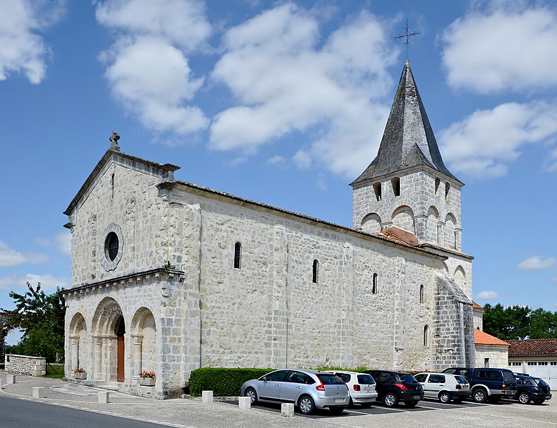
Champagne-et-Fontaine (Champagne-et-Fontaine)

- commune in Dordogne, France
- Country:

- Postal Code: 24320
- Coordinates: 45° 25' 18" N, 0° 19' 2" E


- GPS tracks (wikiloc): [Link]
- Area: 25.04 sq km
- Population: 407
- Web site: http://www.champagne-et-fontaines.fr
- Wikipedia en: wiki(en)
- Wikipedia: wiki(fr)
- Wikidata storage: Wikidata: Q1011912
- Wikipedia Commons Category: [Link]
- Freebase ID: [/m/03mg592]
- Freebase ID: [/m/03mg592]
- GeoNames ID: Alt: [3027252]
- GeoNames ID: Alt: [3027252]
- SIREN number: [212400972]
- SIREN number: [212400972]
- BnF ID: [152517472]
- BnF ID: [152517472]
- VIAF ID: Alt: [305264286]
- VIAF ID: Alt: [305264286]
- INSEE municipality code: 24097
- INSEE municipality code: 24097
Shares border with regions:


Cherval
- commune in Dordogne, France
- Country:
- Postal Code: 24320
- Coordinates: 45° 23' 41" N, 0° 22' 28" E
- GPS tracks (wikiloc): [Link]
- Area: 18.71 sq km
- Population: 274


Édon
- commune in Charente, France
- Country:
- Postal Code: 16320
- Coordinates: 45° 29' 19" N, 0° 21' 15" E
- GPS tracks (wikiloc): [Link]
- Area: 16.49 sq km
- Population: 256


Nanteuil-Auriac-de-Bourzac
- commune in Dordogne, France
- Country:
- Postal Code: 24320
- Coordinates: 45° 23' 4" N, 0° 17' 26" E
- GPS tracks (wikiloc): [Link]
- AboveSeaLevel: 90 м m
- Area: 20.92 sq km
- Population: 208

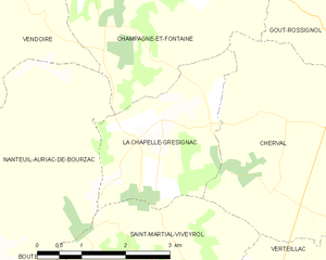
La Chapelle-Grésignac
- commune in Dordogne, France
- Country:
- Postal Code: 24320
- Coordinates: 45° 23' 37" N, 0° 20' 15" E
- GPS tracks (wikiloc): [Link]
- Area: 6.95 sq km
- Population: 107
- Web site: [Link]

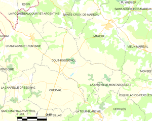
Gout-Rossignol
- commune in Dordogne, France
- Country:
- Postal Code: 24320
- Coordinates: 45° 24' 48" N, 0° 23' 3" E
- GPS tracks (wikiloc): [Link]
- AboveSeaLevel: 128 м m
- Area: 24.91 sq km
- Population: 384


Blanzaguet-Saint-Cybard
- commune in Charente, France
- Country:
- Postal Code: 16320
- Coordinates: 45° 28' 12" N, 0° 19' 13" E
- GPS tracks (wikiloc): [Link]
- AboveSeaLevel: 102 м m
- Area: 11.95 sq km
- Population: 290
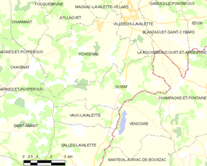
Gurat
- commune in Charente, France
- Country:
- Postal Code: 16320
- Coordinates: 45° 25' 46" N, 0° 16' 11" E
- GPS tracks (wikiloc): [Link]
- Area: 16.03 sq km
- Population: 182