Champeaux-et-la-Chapelle-Pommier (Champeaux-et-la-Chapelle-Pommier)

- former commune in Dordogne, France
- Country:

- Postal Code: 24340
- Coordinates: 45° 28' 24" N, 0° 34' 43" E


- GPS tracks (wikiloc): [Link]
- AboveSeaLevel: 120 м m
- Area: 23.48 sq km
- Population: 156
- Wikipedia en: wiki(en)
- Wikipedia: wiki(fr)
- Wikidata storage: Wikidata: Q471520
- Wikipedia Commons Category: [Link]
- Freebase ID: [/m/03mg59s]
- Freebase ID: [/m/03mg59s]
- GeoNames ID: Alt: [6616150]
- GeoNames ID: Alt: [6616150]
- BnF ID: [15251749r]
- BnF ID: [15251749r]
- VIAF ID: Alt: [245826067]
- VIAF ID: Alt: [245826067]
- GND ID: Alt: [4495792-0]
- GND ID: Alt: [4495792-0]
- PACTOLS thesaurus ID: [pcrtMkKgKwv3SW]
- PACTOLS thesaurus ID: [pcrtMkKgKwv3SW]
- INSEE municipality code: 24099
- INSEE municipality code: 24099
Shares border with regions:

Saint-Martial-de-Valette
- commune in Dordogne, France
- Country:
- Postal Code: 24300
- Coordinates: 45° 30' 59" N, 0° 39' 1" E
- GPS tracks (wikiloc): [Link]
- Area: 15.71 sq km
- Population: 802
- Web site: [Link]


Saint-Front-sur-Nizonne
- commune in Dordogne, France
- Country:
- Postal Code: 24300
- Coordinates: 45° 28' 52" N, 0° 38' 10" E
- GPS tracks (wikiloc): [Link]
- Area: 13.05 sq km
- Population: 157

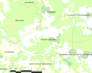
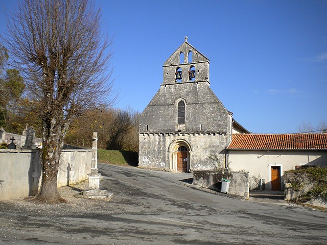
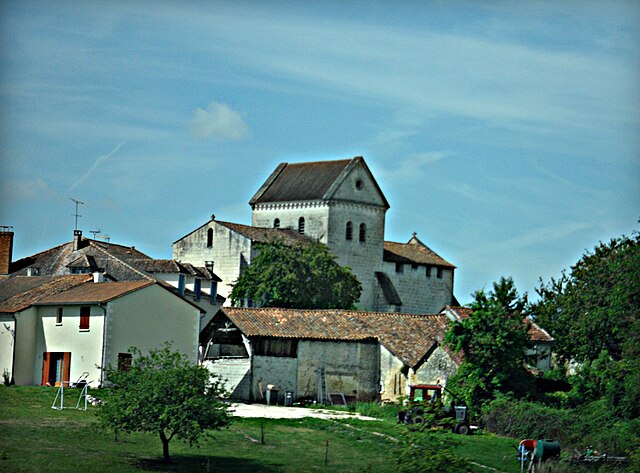
Rudeau-Ladosse
- commune in Dordogne, France
- Country:
- Postal Code: 24340
- Coordinates: 45° 28' 49" N, 0° 33' 0" E
- GPS tracks (wikiloc): [Link]
- Area: 13.74 sq km
- Population: 161

Monsec
- former commune in Dordogne, France
- Country:
- Postal Code: 24340
- Coordinates: 45° 25' 15" N, 0° 32' 0" E
- GPS tracks (wikiloc): [Link]
- Area: 12.45 sq km
- Population: 204


Lussas-et-Nontronneau
- commune in Dordogne, France
- Country:
- Postal Code: 24300
- Coordinates: 45° 30' 19" N, 0° 35' 1" E
- GPS tracks (wikiloc): [Link]
- Area: 22.35 sq km
- Population: 312