Chanteuges (Chanteuges)

- commune in Haute-Loire, France
- Country:

- Postal Code: 43300
- Coordinates: 45° 4' 21" N, 3° 31' 53" E


- GPS tracks (wikiloc): [Link]
- Area: 16.33 sq km
- Population: 455
- Wikipedia en: wiki(en)
- Wikipedia: wiki(fr)
- Wikidata storage: Wikidata: Q270630
- Wikipedia Commons Category: [Link]
- Freebase ID: [/m/03ntjcr]
- GeoNames ID: Alt: [6449037]
- SIREN number: [214300568]
- BnF ID: [152599613]
- INSEE municipality code: 43056
Shares border with regions:


Pébrac
- commune in Haute-Loire, France
- Country:
- Postal Code: 43300
- Coordinates: 45° 1' 54" N, 3° 30' 34" E
- GPS tracks (wikiloc): [Link]
- Area: 17.85 sq km
- Population: 116


Saint-Arcons-d'Allier
- commune in Haute-Loire, France
- Country:
- Postal Code: 43300
- Coordinates: 45° 4' 6" N, 3° 32' 59" E
- GPS tracks (wikiloc): [Link]
- Area: 16.08 sq km
- Population: 201
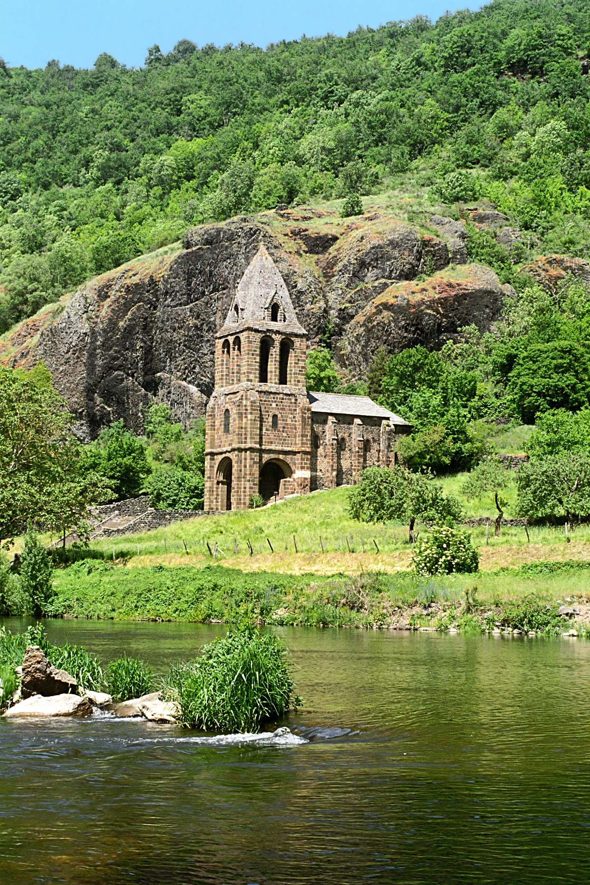
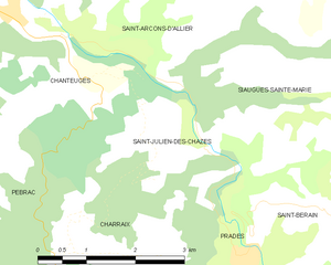
Saint-Julien-des-Chazes
- commune in Haute-Loire, France
- Country:
- Postal Code: 43300
- Coordinates: 45° 2' 48" N, 3° 35' 0" E
- GPS tracks (wikiloc): [Link]
- Area: 6.63 sq km
- Population: 68


Langeac
- commune in Haute-Loire, France
- Country:
- Postal Code: 43300
- Coordinates: 45° 6' 1" N, 3° 29' 39" E
- GPS tracks (wikiloc): [Link]
- Area: 33.94 sq km
- Population: 3754
- Web site: [Link]