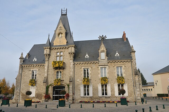
Chaussy (Chaussy)
- commune in Loiret, France
- Country:

- Postal Code: 45480
- Coordinates: 48° 10' 6" N, 1° 59' 45" E


- GPS tracks (wikiloc): [Link]
- Area: 12.94 sq km
- Population: 329
- Wikipedia en: wiki(en)
- Wikipedia: wiki(fr)
- Wikidata storage: Wikidata: Q305390
- Wikipedia Commons Category: [Link]
- Freebase ID: [/m/03nwglf]
- GeoNames ID: Alt: [6449182]
- SIREN number: [214500886]
- BnF ID: [15260481c]
- VIAF ID: Alt: [237451814]
- PACTOLS thesaurus ID: [pcrteSlXaS0cWq]
- INSEE municipality code: 45088
Shares border with regions:


Bazoches-les-Gallerandes
- commune in Loiret, France
- Country:

- Postal Code: 45480
- Coordinates: 48° 9' 45" N, 2° 2' 35" E


- GPS tracks (wikiloc): [Link]
- Area: 36.73 sq km
- Population: 1519
- Web site: [Link]


Outarville
- commune in Loiret, France
- Country:

- Postal Code: 45480
- Coordinates: 48° 12' 41" N, 2° 1' 13" E


- GPS tracks (wikiloc): [Link]
- Area: 46.61 sq km
- Population: 1364
- Web site: [Link]
Tivernon
- commune in Loiret, France
- Country:

- Postal Code: 45170
- Coordinates: 48° 9' 19" N, 1° 55' 50" E


- GPS tracks (wikiloc): [Link]
- Area: 12.61 sq km
- Population: 270


Oison
- commune in Loiret, France
- Country:

- Postal Code: 45170
- Coordinates: 48° 8' 16" N, 1° 58' 4" E


- GPS tracks (wikiloc): [Link]
- Area: 12.09 sq km
- Population: 132


Toury
- commune in Eure-et-Loir, France
- Country:

- Postal Code: 28310
- Coordinates: 48° 11' 39" N, 1° 56' 8" E


- GPS tracks (wikiloc): [Link]
- AboveSeaLevel: 134 м m
- Area: 18.72 sq km
- Population: 2653
- Web site: [Link]
