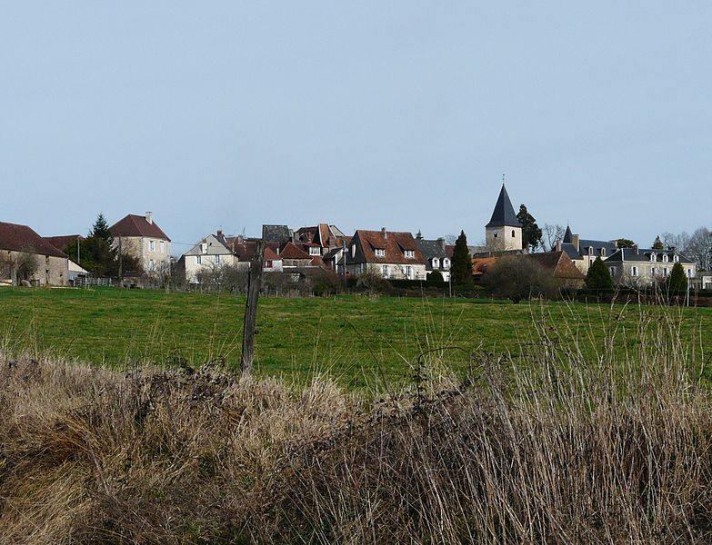
Cherveix-Cubas (Cherveix-Cubas)

- commune in Dordogne, France
- Country:

- Postal Code: 24390
- Coordinates: 45° 17' 25" N, 1° 6' 57" E


- GPS tracks (wikiloc): [Link]
- Area: 14.96 sq km
- Population: 593
- Web site: http://cherveix-cubas.fr/
- Wikipedia en: wiki(en)
- Wikipedia: wiki(fr)
- Wikidata storage: Wikidata: Q1013290
- Wikipedia Commons Category: [Link]
- Freebase ID: [/m/03mg5l0]
- Freebase ID: [/m/03mg5l0]
- GeoNames ID: Alt: [3025423]
- GeoNames ID: Alt: [3025423]
- SIREN number: [212401202]
- SIREN number: [212401202]
- BnF ID: [15251770k]
- BnF ID: [15251770k]
- INSEE municipality code: 24120
- INSEE municipality code: 24120
Shares border with regions:

Génis
- commune in Dordogne, France
- Country:
- Postal Code: 24160
- Coordinates: 45° 19' 34" N, 1° 9' 49" E
- GPS tracks (wikiloc): [Link]
- Area: 25.92 sq km
- Population: 459
- Web site: [Link]


Hautefort
- commune in Dordogne, France
- Country:
- Postal Code: 24390
- Coordinates: 45° 15' 35" N, 1° 8' 53" E
- GPS tracks (wikiloc): [Link]
- Area: 25.68 sq km
- Population: 962
- Web site: [Link]

Anlhiac
- commune in Dordogne, France
- Country:
- Postal Code: 24160
- Coordinates: 45° 19' 18" N, 1° 7' 34" E
- GPS tracks (wikiloc): [Link]
- Area: 11.86 sq km
- Population: 279
- Web site: [Link]


Boisseuilh
- commune in Dordogne, France
- Country:
- Postal Code: 24390
- Coordinates: 45° 17' 18" N, 1° 10' 41" E
- GPS tracks (wikiloc): [Link]
- Area: 11.9 sq km
- Population: 118