Condren (Condren)
- commune in Aisne, France
- Country:

- Postal Code: 02700
- Coordinates: 49° 37' 53" N, 3° 16' 51" E


- GPS tracks (wikiloc): [Link]
- Area: 5.58 sq km
- Population: 715
- Wikipedia en: wiki(en)
- Wikipedia: wiki(fr)
- Wikidata storage: Wikidata: Q847459
- Wikipedia Commons Category: [Link]
- Freebase ID: [/m/03m7k3g]
- Freebase ID: [/m/03m7k3g]
- GeoNames ID: Alt: [6424833]
- GeoNames ID: Alt: [6424833]
- SIREN number: [210201976]
- SIREN number: [210201976]
- INSEE municipality code: 02212
- INSEE municipality code: 02212
Shares border with regions:

Tergnier
- commune in Aisne, France
- Country:
- Postal Code: 02700
- Coordinates: 49° 39' 21" N, 3° 17' 14" E
- GPS tracks (wikiloc): [Link]
- Area: 17.95 sq km
- Population: 13734
- Web site: [Link]
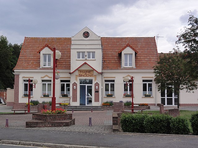
Sinceny
- commune in Aisne, France
- Country:
- Postal Code: 02300
- Coordinates: 49° 35' 46" N, 3° 14' 48" E
- GPS tracks (wikiloc): [Link]
- Area: 13.13 sq km
- Population: 2040

Amigny-Rouy
- commune in Aisne, France
- Country:
- Postal Code: 02700
- Coordinates: 49° 36' 36" N, 3° 18' 16" E
- GPS tracks (wikiloc): [Link]
- Area: 13.08 sq km
- Population: 740
- Web site: [Link]

Viry-Noureuil
- commune in Aisne, France
- Country:
- Postal Code: 02300
- Coordinates: 49° 37' 53" N, 3° 14' 34" E
- GPS tracks (wikiloc): [Link]
- Area: 17.76 sq km
- Population: 1713