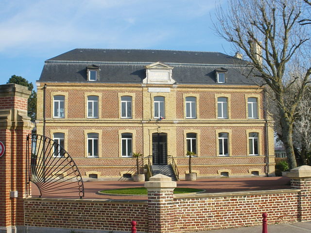
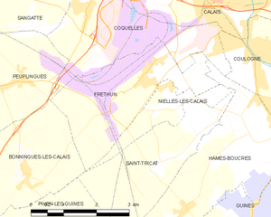
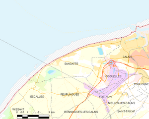
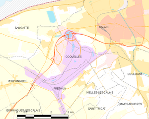
Coquelles (Coquelles)
- commune in Pas-de-Calais, France
- Country:

- Postal Code: 62231
- Coordinates: 50° 56' 6" N, 1° 47' 57" E


- GPS tracks (wikiloc): [Link]
- Area: 8.77 sq km
- Population: 2519
- Web site: http://www.coquelles.fr
- Wikipedia en: wiki(en)
- Wikipedia: wiki(fr)
- Wikidata storage: Wikidata: Q380987
- Wikipedia Commons Category: [Link]
- Freebase ID: [/m/08ts5r]
- GeoNames ID: Alt: [3023787]
- SIREN number: [216202390]
- BnF ID: [15268681v]
- OSM relation ID: [286389]
- INSEE municipality code: 62239
Shares border with regions:


Fréthun
- commune in Pas-de-Calais, France
- Country:

- Postal Code: 62185
- Coordinates: 50° 55' 1" N, 1° 49' 29" E


- GPS tracks (wikiloc): [Link]
- Area: 7.92 sq km
- Population: 1293
- Web site: [Link]


Sangatte
- commune in Pas-de-Calais, France
- Country:

- Postal Code: 62231
- Coordinates: 50° 56' 48" N, 1° 45' 24" E


- GPS tracks (wikiloc): [Link]
- Area: 14.28 sq km
- Population: 4766
- Web site: [Link]


Calais
- commune in Pas-de-Calais, France
- Country:

- Postal Code: 62100
- Coordinates: 50° 56' 51" N, 1° 51' 20" E


- GPS tracks (wikiloc): [Link]
- AboveSeaLevel: 18 м m
- Area: 33.5 sq km
- Population: 75961
- Web site: [Link]


Hames-Boucres
- commune in Pas-de-Calais, France
- Country:

- Postal Code: 62340
- Coordinates: 50° 52' 53" N, 1° 50' 34" E


- GPS tracks (wikiloc): [Link]
- Area: 12.82 sq km
- Population: 1474
- Web site: [Link]


Bonningues-lès-Calais
- commune in Pas-de-Calais, France
- Country:

- Postal Code: 62340
- Coordinates: 50° 53' 25" N, 1° 46' 29" E


- GPS tracks (wikiloc): [Link]
- Area: 8.49 sq km
- Population: 595
- Web site: [Link]


Peuplingues
- commune in Pas-de-Calais, France
- Country:

- Postal Code: 62231
- Coordinates: 50° 54' 54" N, 1° 46' 1" E


- GPS tracks (wikiloc): [Link]
- Area: 10.43 sq km
- Population: 777
- Web site: [Link]


Coulogne
- commune in Pas-de-Calais, France
- Country:

- Postal Code: 62137
- Coordinates: 50° 55' 27" N, 1° 53' 6" E


- GPS tracks (wikiloc): [Link]
- Area: 9.16 sq km
- Population: 5376
