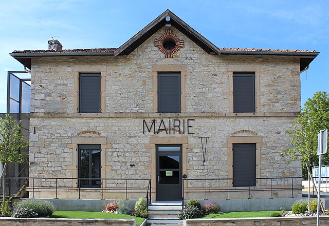
Cormoz (Cormoz)
- commune in Ain, France
- Country:

- Postal Code: 01560
- Coordinates: 46° 26' 57" N, 5° 13' 56" E


- GPS tracks (wikiloc): [Link]
- Area: 19.56 sq km
- Population: 663
- Web site: http://www.cormoz.fr
- Wikipedia en: wiki(en)
- Wikipedia: wiki(fr)
- Wikidata storage: Wikidata: Q669003
- Wikipedia Commons Category: [Link]
- Wikipedia Commons Maps Category: [Link]
- Freebase ID: [/m/03cz424]
- Freebase ID: [/m/03cz424]
- GeoNames ID: Alt: [6612200]
- GeoNames ID: Alt: [6612200]
- SIREN number: [210101242]
- SIREN number: [210101242]
- INSEE municipality code: 01124
- INSEE municipality code: 01124
Shares border with regions:

Beaupont
- commune in Ain, France
 Hiking in Beaupont
Beaupont, a picturesque village located in the Auvergne-Rhône-Alpes region of France, offers access to stunning natural landscapes that make it an excellent destination for hiking enthusiasts. The area is characterized by rolling hills, lush forests, and scenic views....
- Country:
- Postal Code: 01270
- Coordinates: 46° 24' 41" N, 5° 16' 1" E
- GPS tracks (wikiloc): [Link]
- AboveSeaLevel: 187 м m
- Area: 14.07 sq km
- Population: 682
- Web site: [Link]

Pirajoux
- commune in Ain, France
Hiking in Pirajoux
Pirajoux, a lesser-known destination, is often celebrated for its natural beauty and diverse hiking opportunities. While detailed information might be limited, the general characteristics of hiking in this area can be outlined as follows:...
- Country:
- Postal Code: 01270
- Coordinates: 46° 22' 17" N, 5° 17' 57" E
- GPS tracks (wikiloc): [Link]
- Area: 12.99 sq km
- Population: 393
- Web site: [Link]

Saint-Nizier-le-Bouchoux
- commune in Ain, France
- Country:
- Postal Code: 01560
- Coordinates: 46° 27' 35" N, 5° 9' 3" E
- GPS tracks (wikiloc): [Link]
- Area: 28.3 sq km
- Population: 682
- Web site: [Link]
Lescheroux
- commune in Ain, France
- Country:
- Postal Code: 01560
- Coordinates: 46° 24' 24" N, 5° 8' 47" E
- GPS tracks (wikiloc): [Link]
- Area: 20.05 sq km
- Population: 721
- Web site: [Link]
Foissiat
- commune in Ain, France
- Country:
- Postal Code: 01340
- Coordinates: 46° 22' 13" N, 5° 10' 29" E
- GPS tracks (wikiloc): [Link]
- Area: 40.36 sq km
- Population: 2052
- Web site: [Link]