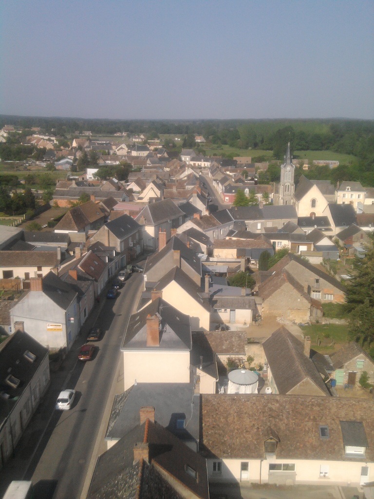
Courcelles-la-Forêt (Courcelles-la-Forêt)
- commune in Sarthe, France
- Country:

- Postal Code: 72270
- Coordinates: 47° 47' 6" N, 0° 1' 3" E


- GPS tracks (wikiloc): [Link]
- Area: 19.6 sq km
- Population: 409
- Wikipedia en: wiki(en)
- Wikipedia: wiki(fr)
- Wikidata storage: Wikidata: Q1222978
- Wikipedia Commons Category: [Link]
- Freebase ID: [/m/03qj2r7]
- GeoNames ID: Alt: [6442546]
- SIREN number: [217201003]
- BnF ID: [15273656n]
- VIAF ID: Alt: [157275197]
- Library of Congress authority ID: Alt: [n97002569]
- INSEE municipality code: 72100
Shares border with regions:


Mézeray
- commune in Sarthe, France
- Country:

- Postal Code: 72270
- Coordinates: 47° 49' 34" N, 0° 1' 6" E


- GPS tracks (wikiloc): [Link]
- Area: 32.95 sq km
- Population: 1905
- Web site: [Link]


Malicorne-sur-Sarthe
- commune in Sarthe, France
- Country:

- Postal Code: 72270
- Coordinates: 47° 48' 49" N, 0° 5' 5" E


- GPS tracks (wikiloc): [Link]
- Area: 15.13 sq km
- Population: 1912
- Web site: [Link]


La Fontaine-Saint-Martin
- commune in Sarthe, France
- Country:

- Postal Code: 72330
- Coordinates: 47° 47' 28" N, 0° 2' 58" E


- GPS tracks (wikiloc): [Link]
- Area: 13.72 sq km
- Population: 619


Bousse, Sarthe
- commune in Sarthe, France
- Country:

- Postal Code: 72270
- Coordinates: 47° 46' 13" N, 0° 3' 32" E


- GPS tracks (wikiloc): [Link]
- Area: 12.02 sq km
- Population: 435


Ligron
- commune in Sarthe, France
- Country:

- Postal Code: 72270
- Coordinates: 47° 46' 17" N, 0° 0' 31" E


- GPS tracks (wikiloc): [Link]
- Area: 13.48 sq km
- Population: 505
- Web site: [Link]
