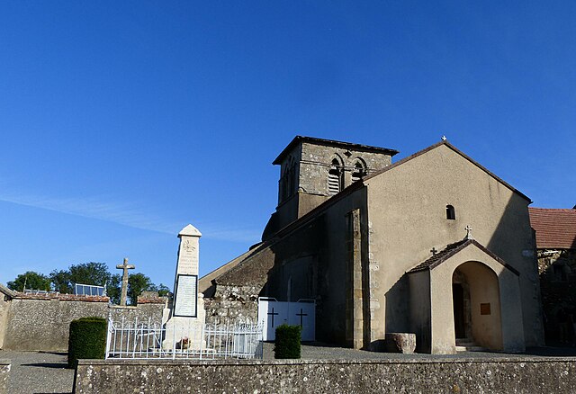
Coutansouze (Coutansouze)
- commune in Allier, France
- Country:

- Postal Code: 03330
- Coordinates: 46° 13' 6" N, 3° 0' 38" E


- GPS tracks (wikiloc): [Link]
- Area: 13.42 sq km
- Population: 146
- Wikipedia en: wiki(en)
- Wikipedia: wiki(fr)
- Wikidata storage: Wikidata: Q249585
- Wikipedia Commons Category: [Link]
- Freebase ID: [/m/03m7sjd]
- Freebase ID: [/m/03m7sjd]
- GeoNames ID: Alt: [6446566]
- GeoNames ID: Alt: [6446566]
- SIREN number: [210300893]
- SIREN number: [210300893]
- INSEE municipality code: 03089
- INSEE municipality code: 03089
Shares border with regions:
Louroux-de-Bouble
- commune in Allier, France
- Country:
- Postal Code: 03330
- Coordinates: 46° 13' 33" N, 2° 58' 40" E
- GPS tracks (wikiloc): [Link]
- Area: 16.87 sq km
- Population: 251

Bellenaves
- commune in Allier, France
- Country:
- Postal Code: 03330
- Coordinates: 46° 12' 2" N, 3° 4' 48" E
- GPS tracks (wikiloc): [Link]
- AboveSeaLevel: 420.0 м m
- Area: 34.88 sq km
- Population: 1016

Échassières
- commune in Allier, France
- Country:
- Postal Code: 03330
- Coordinates: 46° 11' 4" N, 2° 56' 4" E
- GPS tracks (wikiloc): [Link]
- Area: 23.4 sq km
- Population: 390

Lalizolle
- commune in Allier, France
- Country:
- Postal Code: 03450
- Coordinates: 46° 9' 25" N, 3° 0' 6" E
- GPS tracks (wikiloc): [Link]
- Area: 23.72 sq km
- Population: 336
Chirat-l'Église
- commune in Allier, France
- Country:
- Postal Code: 03330
- Coordinates: 46° 14' 35" N, 3° 2' 4" E
- GPS tracks (wikiloc): [Link]
- Area: 18.48 sq km
- Population: 128