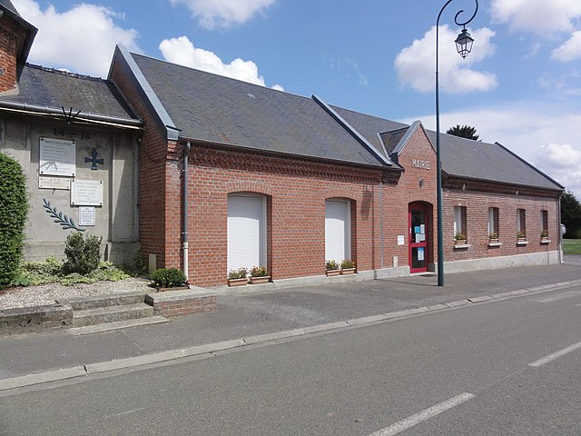
Douchy (Douchy)
- commune in Aisne, France
- Country:

- Postal Code: 02590
- Coordinates: 49° 47' 45" N, 3° 8' 6" E


- GPS tracks (wikiloc): [Link]
- Area: 5.05 sq km
- Population: 159
- Wikipedia en: wiki(en)
- Wikipedia: wiki(fr)
- Wikidata storage: Wikidata: Q930401
- Wikipedia Commons Category: [Link]
- Freebase ID: [/m/03m4dvw]
- Freebase ID: [/m/03m4dvw]
- GeoNames ID: Alt: [6424881]
- GeoNames ID: Alt: [6424881]
- SIREN number: [210202545]
- SIREN number: [210202545]
- INSEE municipality code: 02270
- INSEE municipality code: 02270
Shares border with regions:
Aubigny-aux-Kaisnes
- commune in Aisne, France
- Country:
- Postal Code: 02590
- Coordinates: 49° 46' 25" N, 3° 7' 0" E
- GPS tracks (wikiloc): [Link]
- Area: 3.72 sq km
- Population: 246

Foreste
- commune in Aisne, France
- Country:
- Postal Code: 02590
- Coordinates: 49° 48' 32" N, 3° 5' 55" E
- GPS tracks (wikiloc): [Link]
- Area: 4.94 sq km
- Population: 173
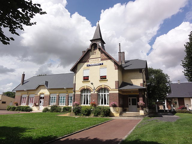
Fluquières
- commune in Aisne, France
- Country:
- Postal Code: 02590
- Coordinates: 49° 48' 12" N, 3° 9' 10" E
- GPS tracks (wikiloc): [Link]
- Area: 5.24 sq km
- Population: 220

Bray-Saint-Christophe
- commune in Aisne, France
- Country:
- Postal Code: 02480
- Coordinates: 49° 46' 15" N, 3° 8' 38" E
- GPS tracks (wikiloc): [Link]
- Area: 2.88 sq km
- Population: 68

Villers-Saint-Christophe
- commune in Aisne, France
- Country:
- Postal Code: 02590
- Coordinates: 49° 46' 46" N, 3° 5' 35" E
- GPS tracks (wikiloc): [Link]
- Area: 8.99 sq km
- Population: 442

Germaine
- commune in Aisne, France
- Country:
- Postal Code: 02590
- Coordinates: 49° 48' 41" N, 3° 6' 54" E
- GPS tracks (wikiloc): [Link]
- Area: 4.54 sq km
- Population: 79