Dravegny (Dravegny)
- commune in Aisne, France
- Country:

- Postal Code: 02130
- Coordinates: 49° 13' 49" N, 3° 38' 17" E


- GPS tracks (wikiloc): [Link]
- Area: 15.67 sq km
- Population: 142
- Wikipedia en: wiki(en)
- Wikipedia: wiki(fr)
- Wikidata storage: Wikidata: Q849534
- Wikipedia Commons Category: [Link]
- Freebase ID: [/m/03m7ksf]
- Freebase ID: [/m/03m7ksf]
- GeoNames ID: Alt: [6424882]
- GeoNames ID: Alt: [6424882]
- SIREN number: [210202552]
- SIREN number: [210202552]
- INSEE municipality code: 02271
- INSEE municipality code: 02271
Shares border with regions:

Coulonges-Cohan
- commune in Aisne, France
- Country:
- Postal Code: 02130
- Coordinates: 49° 12' 4" N, 3° 38' 11" E
- GPS tracks (wikiloc): [Link]
- Area: 28.75 sq km
- Population: 436


Mont-sur-Courville
- commune in Marne, France
- Country:
- Postal Code: 51170
- Coordinates: 49° 15' 36" N, 3° 40' 52" E
- GPS tracks (wikiloc): [Link]
- Area: 5.94 sq km
- Population: 133

Chéry-Chartreuve
- commune in Aisne, France
- Country:
- Postal Code: 02220
- Coordinates: 49° 15' 46" N, 3° 36' 49" E
- GPS tracks (wikiloc): [Link]
- Area: 13.69 sq km
- Population: 388

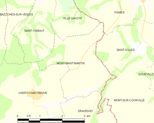
Mont-Saint-Martin
- commune in Aisne, France
- Country:
- Postal Code: 02220
- Coordinates: 49° 16' 57" N, 3° 38' 25" E
- GPS tracks (wikiloc): [Link]
- Area: 5.81 sq km
- Population: 77

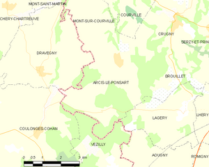
Arcis-le-Ponsart
- commune in Marne, France
- Country:
- Postal Code: 51170
- Coordinates: 49° 14' 6" N, 3° 41' 37" E
- GPS tracks (wikiloc): [Link]
- Area: 15.43 sq km
- Population: 320