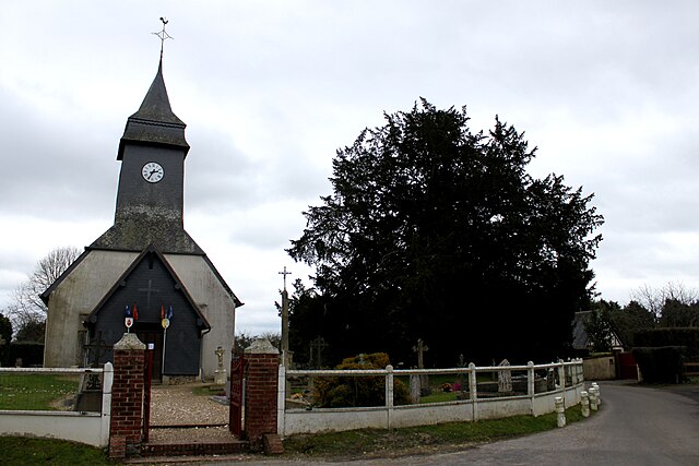
Drucourt (Drucourt)

- commune in Eure, France
- Country:

- Postal Code: 27230
- Coordinates: 49° 6' 57" N, 0° 27' 55" E


- GPS tracks (wikiloc): [Link]
- Area: 11.97 sq km
- Population: 596
- Wikipedia en: wiki(en)
- Wikipedia: wiki(fr)
- Wikidata storage: Wikidata: Q1075412
- Wikipedia Commons Category: [Link]
- Freebase ID: [/m/03nqhkx]
- Freebase ID: [/m/03nqhkx]
- GeoNames ID: Alt: [6430354]
- GeoNames ID: Alt: [6430354]
- SIREN number: [212702070]
- SIREN number: [212702070]
- BnF ID: [15253446c]
- BnF ID: [15253446c]
- INSEE municipality code: 27207
- INSEE municipality code: 27207
Shares border with regions:


Bournainville-Faverolles
- commune in Eure, France
- Country:
- Postal Code: 27230
- Coordinates: 49° 7' 37" N, 0° 29' 17" E
- GPS tracks (wikiloc): [Link]
- AboveSeaLevel: 185 м m
- Area: 6.96 sq km
- Population: 472

Le Planquay
- commune in Eure, France
- Country:
- Postal Code: 27230
- Coordinates: 49° 5' 48" N, 0° 25' 50" E
- GPS tracks (wikiloc): [Link]
- Area: 4.04 sq km
- Population: 155


Fontaine-la-Louvet
- commune in Eure, France
- Country:
- Postal Code: 27230
- Coordinates: 49° 9' 54" N, 0° 26' 54" E
- GPS tracks (wikiloc): [Link]
- Area: 11.11 sq km
- Population: 344
La Chapelle-Hareng
- commune in Eure, France
- Country:
- Postal Code: 27230
- Coordinates: 49° 6' 50" N, 0° 24' 54" E
- GPS tracks (wikiloc): [Link]
- Area: 4.07 sq km
- Population: 87

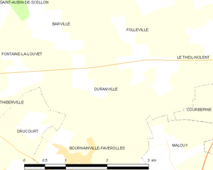
Duranville
- commune in Eure, France
- Country:
- Postal Code: 27230
- Coordinates: 49° 8' 55" N, 0° 30' 35" E
- GPS tracks (wikiloc): [Link]
- AboveSeaLevel: 181 м m
- Area: 4.73 sq km
- Population: 153