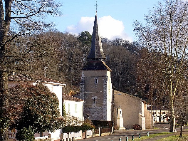
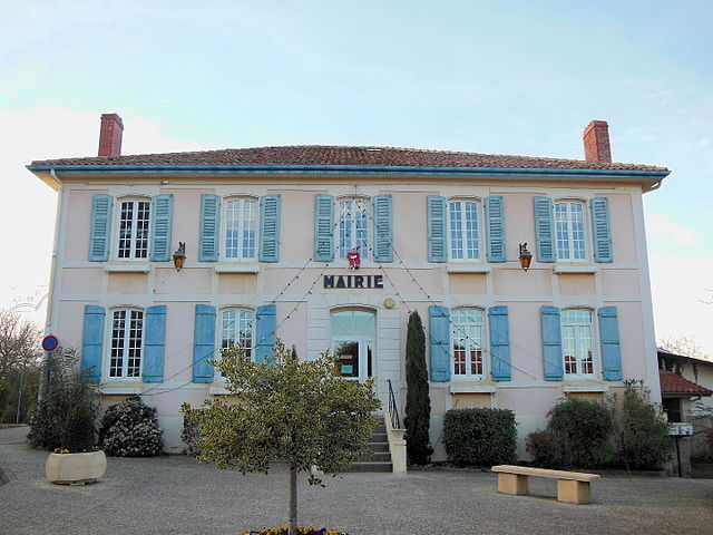
Dumes (Dumes)

- commune in Landes, France
- Country:

- Postal Code: 40500
- Coordinates: 43° 42' 21" N, 0° 34' 56" E


- GPS tracks (wikiloc): [Link]
- Area: 2.48 sq km
- Population: 258
- Wikipedia en: wiki(en)
- Wikipedia: wiki(fr)
- Wikidata storage: Wikidata: Q1071043
- Wikipedia Commons Category: [Link]
- Freebase ID: [/m/03nvwrf]
- GeoNames ID: Alt: [6448888]
- SIREN number: [214000929]
- BnF ID: [15259034q]
- INSEE municipality code: 40092
Shares border with regions:

Eyres-Moncube
- commune in Landes, France
- Country:
- Postal Code: 40500
- Coordinates: 43° 43' 11" N, 0° 32' 59" E
- GPS tracks (wikiloc): [Link]
- Area: 12.19 sq km
- Population: 376

Sainte-Colombe
- commune in Landes, France
- Country:
- Postal Code: 40700
- Coordinates: 43° 40' 54" N, 0° 33' 24" E
- GPS tracks (wikiloc): [Link]
- Area: 12.79 sq km
- Population: 684


Audignon
- commune in Landes, France
- Country:
- Postal Code: 40500
- Coordinates: 43° 43' 21" N, 0° 36' 14" E
- GPS tracks (wikiloc): [Link]
- Area: 9.31 sq km
- Population: 388


Horsarrieu
- commune in Landes, France
- Country:
- Postal Code: 40700
- Coordinates: 43° 40' 59" N, 0° 35' 51" E
- GPS tracks (wikiloc): [Link]
- Area: 11.02 sq km
- Population: 689