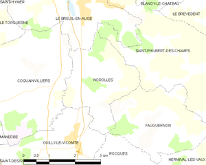
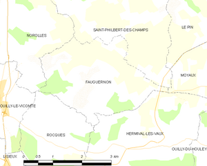
Fauguernon (Fauguernon)
- commune in Calvados, France
- Country:

- Postal Code: 14100
- Coordinates: 49° 11' 30" N, 0° 16' 16" E


- GPS tracks (wikiloc): [Link]
- Area: 7.41 sq km
- Population: 249
- Web site: http://www.fauguernon.fr
- Wikipedia en: wiki(en)
- Wikipedia: wiki(fr)
- Wikidata storage: Wikidata: Q863199
- Wikipedia Commons Category: [Link]
- Freebase ID: [/m/02w_8z]
- Freebase ID: [/m/02w_8z]
- GeoNames ID: Alt: [6427217]
- GeoNames ID: Alt: [6427217]
- SIREN number: [211402607]
- SIREN number: [211402607]
- BnF ID: [15247674x]
- BnF ID: [15247674x]
- WOEID: [12643657]
- WOEID: [12643657]
- INSEE municipality code: 14260
- INSEE municipality code: 14260
Shares border with regions:


Rocques
- commune in Calvados, France
- Country:

- Postal Code: 14100
- Coordinates: 49° 10' 16" N, 0° 14' 35" E


- GPS tracks (wikiloc): [Link]
- Area: 6.14 sq km
- Population: 292

Hermival-les-Vaux
- commune in Calvados, France
- Country:

- Postal Code: 14100
- Coordinates: 49° 10' 11" N, 0° 16' 57" E


- GPS tracks (wikiloc): [Link]
- Area: 13.76 sq km
- Population: 826

Moyaux
- commune in Calvados, France
- Country:

- Postal Code: 14590
- Coordinates: 49° 11' 43" N, 0° 21' 22" E


- GPS tracks (wikiloc): [Link]
- Area: 16.23 sq km
- Population: 1346
- Web site: [Link]


Saint-Philbert-des-Champs
- commune in Calvados, France
- Country:

- Postal Code: 14130
- Coordinates: 49° 12' 31" N, 0° 16' 58" E


- GPS tracks (wikiloc): [Link]
- AboveSeaLevel: 150 м m
- Area: 12.03 sq km
- Population: 631


Norolles
- commune in Calvados, France
- Country:

- Postal Code: 14100
- Coordinates: 49° 11' 58" N, 0° 14' 26" E


- GPS tracks (wikiloc): [Link]
- Area: 6.52 sq km
- Population: 295
