Faux (Faux)

- commune in Dordogne, France
- Country:

- Postal Code: 24560
- Coordinates: 44° 47' 22" N, 0° 38' 34" E


- GPS tracks (wikiloc): [Link]
- AboveSeaLevel: 150 м m
- Area: 16.07 sq km
- Population: 616
- Wikipedia en: wiki(en)
- Wikipedia: wiki(fr)
- Wikidata storage: Wikidata: Q1139063
- Wikipedia Commons Category: [Link]
- Freebase ID: [/m/03mg636]
- Freebase ID: [/m/03mg636]
- GeoNames ID: Alt: [6616155]
- GeoNames ID: Alt: [6616155]
- SIREN number: [212401772]
- SIREN number: [212401772]
- BnF ID: [152518251]
- BnF ID: [152518251]
- VIAF ID: Alt: [142042667]
- VIAF ID: Alt: [142042667]
- INSEE municipality code: 24177
- INSEE municipality code: 24177
Shares border with regions:


Monmadalès
- commune in Dordogne, France
- Country:
- Postal Code: 24560
- Coordinates: 44° 45' 58" N, 0° 37' 19" E
- GPS tracks (wikiloc): [Link]
- Area: 5.04 sq km
- Population: 82


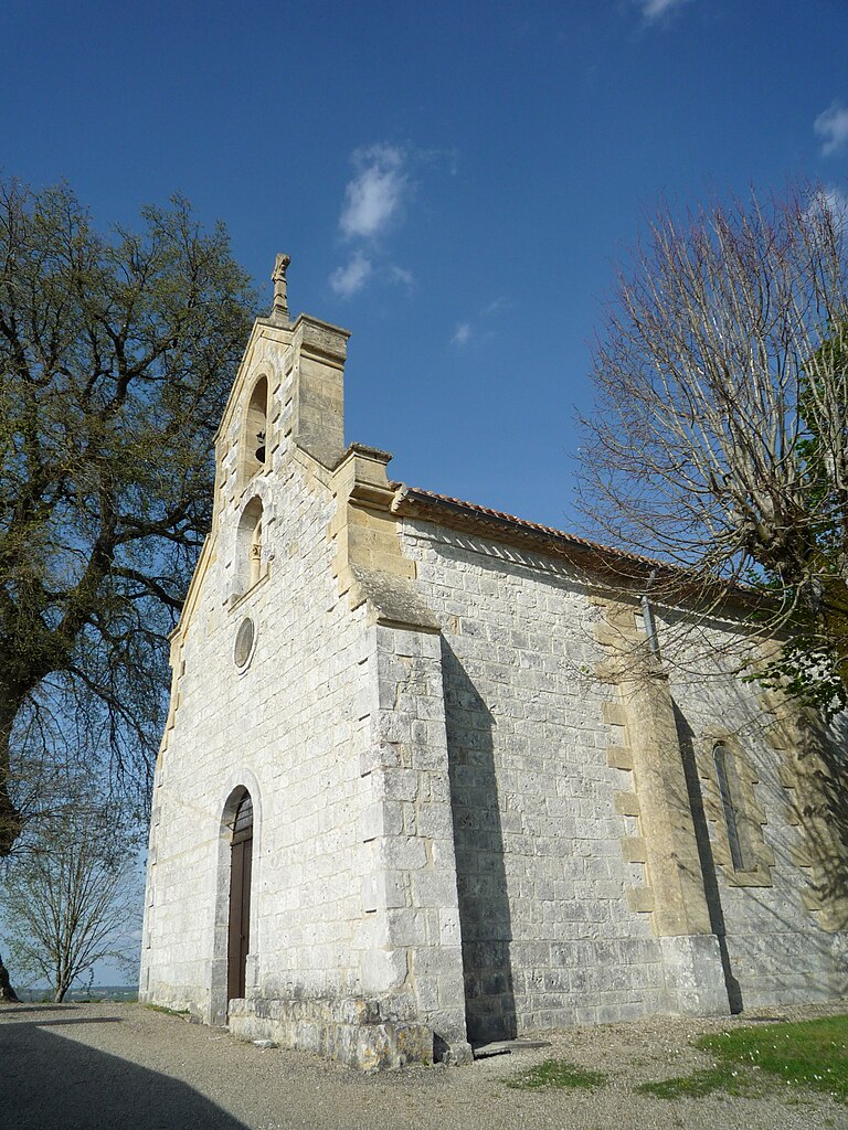
Monsac
- commune in Dordogne, France
- Country:
- Postal Code: 24440
- Coordinates: 44° 46' 45" N, 0° 41' 49" E
- GPS tracks (wikiloc): [Link]
- Area: 10.74 sq km
- Population: 194
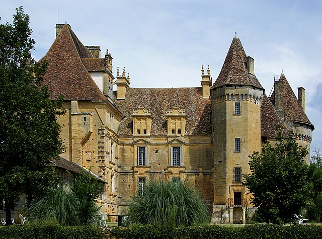
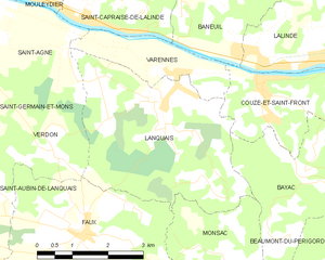
Lanquais
- commune in Dordogne, France
- Country:
- Postal Code: 24150
- Coordinates: 44° 49' 24" N, 0° 40' 12" E
- GPS tracks (wikiloc): [Link]
- Area: 14.48 sq km
- Population: 499


Saint-Aubin-de-Lanquais
- commune in Dordogne, France
- Country:
- Postal Code: 24560
- Coordinates: 44° 47' 36" N, 0° 35' 52" E
- GPS tracks (wikiloc): [Link]
- Area: 9.27 sq km
- Population: 328

Montaut
- commune in Dordogne, France
- Country:
- Postal Code: 24560
- Coordinates: 44° 44' 54" N, 0° 37' 36" E
- GPS tracks (wikiloc): [Link]
- AboveSeaLevel: 150 м m
- Area: 16.16 sq km
- Population: 129