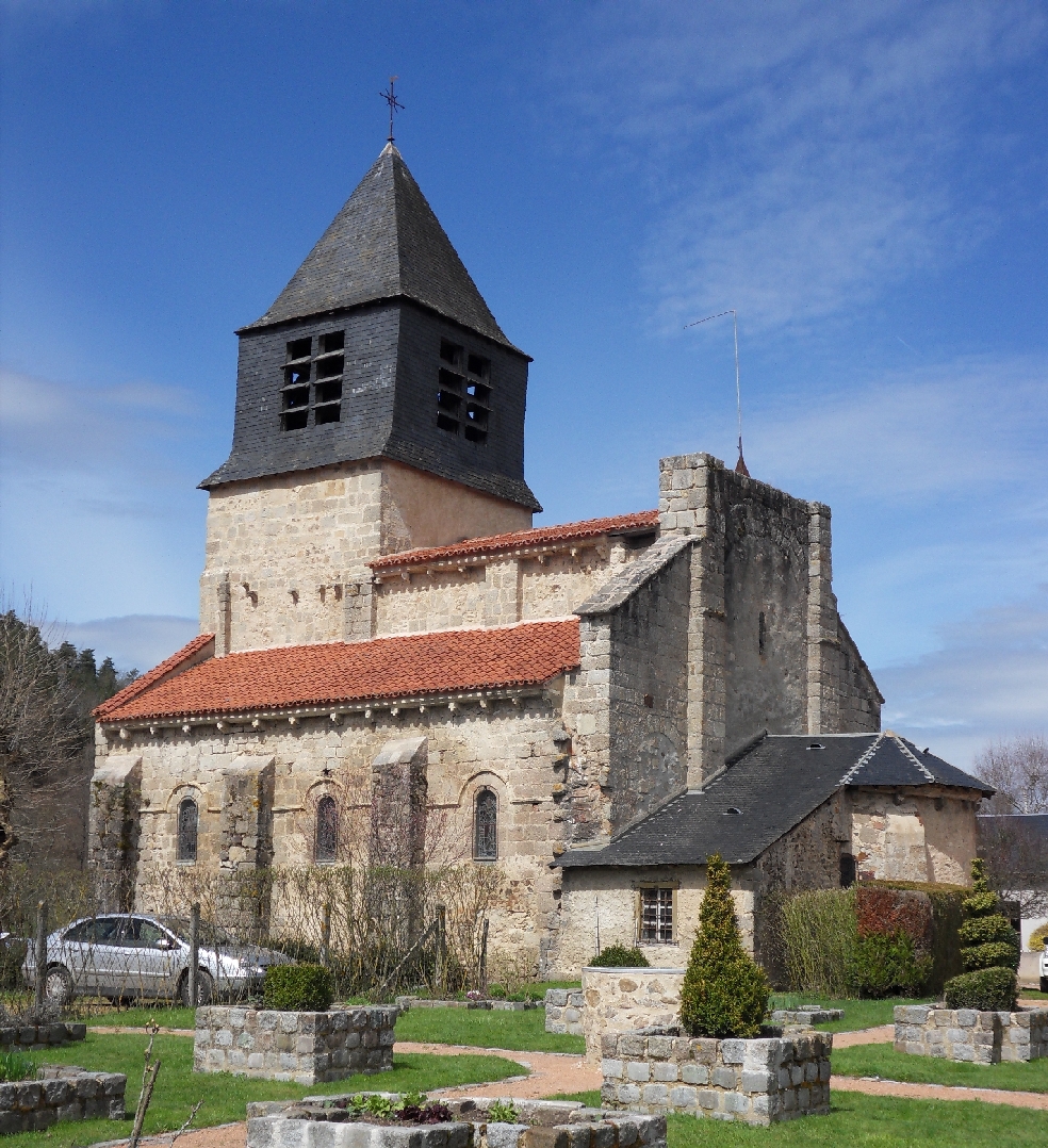
Ferrières-sur-Sichon (Ferrières-sur-Sichon)
- commune in Allier, France
- Country:

- Postal Code: 03250
- Coordinates: 46° 1' 31" N, 3° 38' 56" E


- GPS tracks (wikiloc): [Link]
- Area: 38.58 sq km
- Population: 573
- Wikipedia en: wiki(en)
- Wikipedia: wiki(fr)
- Wikidata storage: Wikidata: Q244010
- Wikipedia Commons Category: [Link]
- Freebase ID: [/m/03m7ssn]
- Freebase ID: [/m/03m7ssn]
- GeoNames ID: Alt: [6425355]
- GeoNames ID: Alt: [6425355]
- SIREN number: [210301131]
- SIREN number: [210301131]
- BnF ID: [119832254]
- BnF ID: [119832254]
- INSEE municipality code: 03113
- INSEE municipality code: 03113
Shares border with regions:


Lachaux
- commune in Puy-de-Dôme, France
- Country:

- Postal Code: 63290
- Coordinates: 45° 59' 38" N, 3° 35' 34" E


- GPS tracks (wikiloc): [Link]
- AboveSeaLevel: 600 м m
- Area: 22.27 sq km
- Population: 282
- Web site: [Link]

Saint-Clément
- commune in Allier, France
- Country:

- Postal Code: 03250
- Coordinates: 46° 3' 43" N, 3° 42' 16" E


- GPS tracks (wikiloc): [Link]
- Area: 25.98 sq km
- Population: 318

Le Mayet-de-Montagne
- commune in Allier, France
- Country:

- Postal Code: 03250
- Coordinates: 46° 4' 15" N, 3° 40' 0" E


- GPS tracks (wikiloc): [Link]
- Area: 29.03 sq km
- Population: 1389

La Chabanne
- commune in Allier, France
- Country:

- Postal Code: 03250
- Coordinates: 46° 1' 18" N, 3° 45' 10" E


- GPS tracks (wikiloc): [Link]
- AboveSeaLevel: 680 м m
- Area: 20 sq km
- Population: 191

La Guillermie
- commune in Allier, France
- Country:

- Postal Code: 03250
- Coordinates: 45° 58' 55" N, 3° 38' 19" E


- GPS tracks (wikiloc): [Link]
- Area: 12.33 sq km
- Population: 130

Arronnes
- commune in Allier, France
- Country:

- Postal Code: 03250
- Coordinates: 46° 3' 30" N, 3° 34' 7" E


- GPS tracks (wikiloc): [Link]
- Area: 26 sq km
- Population: 375

Lavoine
- commune in Allier, France
- Country:

- Postal Code: 03250
- Coordinates: 45° 58' 40" N, 3° 41' 48" E


- GPS tracks (wikiloc): [Link]
- AboveSeaLevel: 830 м m
- Area: 17.53 sq km
- Population: 156

Laprugne
- commune in Allier, France
- Country:

- Postal Code: 03250
- Coordinates: 45° 59' 10" N, 3° 44' 35" E


- GPS tracks (wikiloc): [Link]
- Area: 34.61 sq km
- Population: 319