Fresney-le-Puceux (Fresney-le-Puceux)

- commune in Calvados, France
- Country:

- Postal Code: 14680
- Coordinates: 49° 3' 47" N, 0° 22' 17" E


- GPS tracks (wikiloc): [Link]
- Area: 9.65 sq km
- Population: 803
- Web site: http://www.fresney-le-puceux.fr/
- Wikipedia en: wiki(en)
- Wikipedia: wiki(fr)
- Wikidata storage: Wikidata: Q774748
- Wikipedia Commons Category: [Link]
- Freebase ID: [/m/02yf_d]
- Freebase ID: [/m/02yf_d]
- GeoNames ID: Alt: [6427233]
- GeoNames ID: Alt: [6427233]
- SIREN number: [211402904]
- SIREN number: [211402904]
- BnF ID: [152477041]
- BnF ID: [152477041]
- INSEE municipality code: 14290
- INSEE municipality code: 14290
Shares border with regions:


Boulon
- commune in Calvados, France
- Country:
- Postal Code: 14220
- Coordinates: 49° 2' 52" N, 0° 23' 35" E
- GPS tracks (wikiloc): [Link]
- Area: 14.96 sq km
- Population: 653


Laize-la-Ville
- former commune in Calvados, France
- Country:
- Postal Code: 14320
- Coordinates: 49° 4' 56" N, 0° 22' 52" E
- GPS tracks (wikiloc): [Link]
- Area: 1.76 sq km
- Population: 760


Bretteville-sur-Laize
- commune in Calvados, France
- Country:
- Postal Code: 14680
- Coordinates: 49° 2' 42" N, 0° 19' 30" E
- GPS tracks (wikiloc): [Link]
- Area: 9.68 sq km
- Population: 1812
- Web site: [Link]


Saint-Aignan-de-Cramesnil
- commune in Calvados, France
- Country:
- Postal Code: 14540
- Coordinates: 49° 4' 51" N, 0° 16' 47" E
- GPS tracks (wikiloc): [Link]
- Area: 6.91 sq km
- Population: 538
- Web site: [Link]


Cintheaux
- commune in Calvados, France
- Country:
- Postal Code: 14680
- Coordinates: 49° 3' 19" N, 0° 17' 32" E
- GPS tracks (wikiloc): [Link]
- Area: 7.58 sq km
- Population: 194
- Web site: [Link]

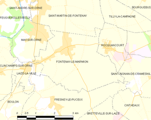
Fontenay-le-Marmion
- commune in Calvados, France
- Country:
- Postal Code: 14320
- Coordinates: 49° 5' 36" N, 0° 21' 11" E
- GPS tracks (wikiloc): [Link]
- Area: 10.16 sq km
- Population: 1887