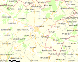
Gézaincourt (Gézaincourt)

- commune in Somme, France
- Country:

- Postal Code: 80600
- Coordinates: 50° 8' 28" N, 2° 19' 10" E


- GPS tracks (wikiloc): [Link]
- Area: 6.97 sq km
- Population: 415
- Wikipedia en: wiki(en)
- Wikipedia: wiki(fr)
- Wikidata storage: Wikidata: Q157091
- Wikipedia Commons Category: [Link]
- Freebase ID: [/m/03x_w9t]
- GeoNames ID: Alt: [6444486]
- SIREN number: [218003622]
- BnF ID: [152768578]
- INSEE municipality code: 80377
Shares border with regions:


Beauval
- commune in Somme, France
- Country:
- Postal Code: 80630
- Coordinates: 50° 6' 22" N, 2° 19' 46" E
- GPS tracks (wikiloc): [Link]
- Area: 22.56 sq km
- Population: 2101
- Web site: [Link]

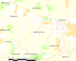
Hem-Hardinval
- commune in Somme, France
- Country:
- Postal Code: 80600
- Coordinates: 50° 9' 48" N, 2° 18' 3" E
- GPS tracks (wikiloc): [Link]
- Area: 10.25 sq km
- Population: 351
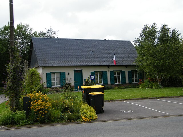

Longuevillette
- commune in Somme, France
- Country:
- Postal Code: 80600
- Coordinates: 50° 7' 46" N, 2° 16' 24" E
- GPS tracks (wikiloc): [Link]
- Area: 2.06 sq km
- Population: 75
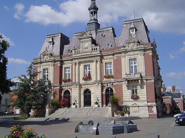
Doullens
- commune in Somme, France
- Country:
- Postal Code: 80600
- Coordinates: 50° 9' 24" N, 2° 20' 25" E
- GPS tracks (wikiloc): [Link]
- Area: 33.4 sq km
- Population: 6321
- Web site: [Link]


Candas
- commune in Somme, France
- Country:
- Postal Code: 80750
- Coordinates: 50° 6' 27" N, 2° 15' 34" E
- GPS tracks (wikiloc): [Link]
- Area: 17.27 sq km
- Population: 1090