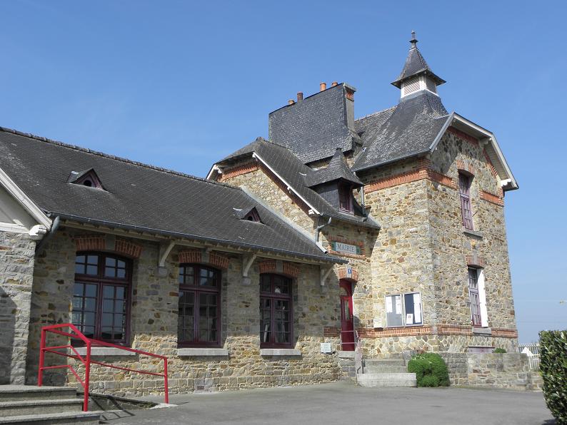
Gahard (Gahard)

- commune in Ille-et-Vilaine, France
- Country:

- Postal Code: 35490
- Coordinates: 48° 17' 49" N, 1° 31' 9" E


- GPS tracks (wikiloc): [Link]
- Area: 24.96 sq km
- Population: 1424
- Web site: http://www.gahard.net
- Wikipedia en: wiki(en)
- Wikipedia: wiki(fr)
- Wikidata storage: Wikidata: Q649103
- Wikipedia Commons Category: [Link]
- Freebase ID: [/m/03hkzjq]
- Freebase ID: [/m/03hkzjq]
- Freebase ID: [/m/03hkzjq]
- GeoNames ID: Alt: [3016828]
- GeoNames ID: Alt: [3016828]
- GeoNames ID: Alt: [3016828]
- SIREN number: [213501182]
- SIREN number: [213501182]
- SIREN number: [213501182]
- BnF ID: [15257062g]
- BnF ID: [15257062g]
- BnF ID: [15257062g]
- VIAF ID: Alt: [168446440]
- VIAF ID: Alt: [168446440]
- VIAF ID: Alt: [168446440]
- OSM relation ID: [116110]
- OSM relation ID: [116110]
- OSM relation ID: [116110]
- Library of Congress authority ID: Alt: [n95086022]
- Library of Congress authority ID: Alt: [n95086022]
- Library of Congress authority ID: Alt: [n95086022]
- PACTOLS thesaurus ID: [pcrt2NoPRrSc3m]
- PACTOLS thesaurus ID: [pcrt2NoPRrSc3m]
- PACTOLS thesaurus ID: [pcrt2NoPRrSc3m]
- INSEE municipality code: 35118
- INSEE municipality code: 35118
- INSEE municipality code: 35118
Shares border with regions:


Saint-Aubin-d'Aubigné
- commune in Ille-et-Vilaine, France
- Country:
- Postal Code: 35250
- Coordinates: 48° 15' 44" N, 1° 36' 22" E
- GPS tracks (wikiloc): [Link]
- Area: 23.52 sq km
- Population: 3585
- Web site: [Link]

Andouillé-Neuville
- commune in Ille-et-Vilaine, France
- Country:
- Postal Code: 35250
- Coordinates: 48° 17' 37" N, 1° 35' 24" E
- GPS tracks (wikiloc): [Link]
- Area: 12.61 sq km
- Population: 860


Mézières-sur-Couesnon
- commune in Ille-et-Vilaine, France
- Country:
- Postal Code: 35140
- Coordinates: 48° 17' 44" N, 1° 25' 58" E
- GPS tracks (wikiloc): [Link]
- Area: 24.74 sq km
- Population: 1684
- Web site: [Link]

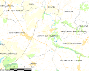
Vieux-Vy-sur-Couesnon
- commune in Ille-et-Vilaine, France
- Country:
- Postal Code: 35490
- Coordinates: 48° 20' 30" N, 1° 29' 22" E
- GPS tracks (wikiloc): [Link]
- AboveSeaLevel: 65 м m
- Area: 21.56 sq km
- Population: 1171
- Web site: [Link]


Saint-Aubin-du-Cormier
- commune in Ille-et-Vilaine, France
- Country:
- Postal Code: 35140
- Coordinates: 48° 15' 30" N, 1° 24' 9" E
- GPS tracks (wikiloc): [Link]
- Area: 27.41 sq km
- Population: 3732
- Web site: [Link]


Ercé-près-Liffré
- commune in Ille-et-Vilaine, France
- Country:
- Postal Code: 35340
- Coordinates: 48° 15' 20" N, 1° 31' 4" E
- GPS tracks (wikiloc): [Link]
- Area: 15.78 sq km
- Population: 1761
- Web site: [Link]


Sens-de-Bretagne
- commune in Ille-et-Vilaine, France
- Country:
- Postal Code: 35490
- Coordinates: 48° 20' 1" N, 1° 32' 10" E
- GPS tracks (wikiloc): [Link]
- Area: 30.82 sq km
- Population: 2544
- Web site: [Link]