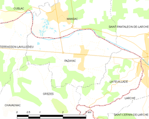
Grèzes (Grèzes)

- former commune in Dordogne, France
- Country:

- Postal Code: 24120
- Coordinates: 45° 6' 12" N, 1° 21' 59" E


- GPS tracks (wikiloc): [Link]
- Area: 5.88 sq km
- Population: 200
- Wikipedia en: wiki(en)
- Wikipedia: wiki(fr)
- Wikidata storage: Wikidata: Q1082543
- Wikipedia Commons Category: [Link]
- Freebase ID: [/m/03mhkt5]
- Freebase ID: [/m/03mhkt5]
- GeoNames ID: Alt: [6429397]
- GeoNames ID: Alt: [6429397]
- BnF ID: [15251851k]
- BnF ID: [15251851k]
- VIAF ID: Alt: [234789384]
- VIAF ID: Alt: [234789384]
- INSEE municipality code: 24204
- INSEE municipality code: 24204
Shares border with regions:

Chavagnac
- former commune in Dordogne, France
- Country:
- Postal Code: 24120
- Coordinates: 45° 5' 21" N, 1° 22' 19" E
- GPS tracks (wikiloc): [Link]
- Area: 13.59 sq km
- Population: 383

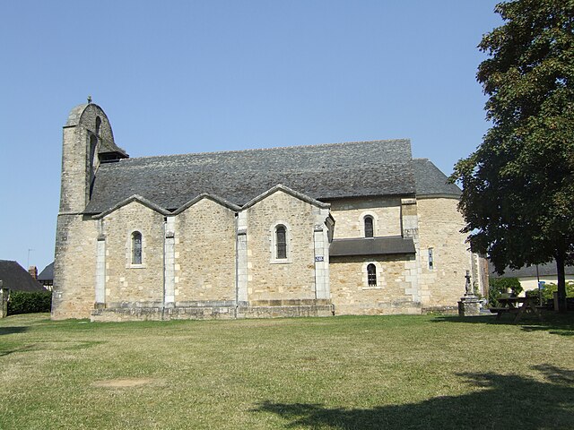
La Feuillade
- commune in Dordogne, France
- Country:
- Postal Code: 19600
- Coordinates: 45° 6' 51" N, 1° 24' 11" E
- GPS tracks (wikiloc): [Link]
- Area: 3.97 sq km
- Population: 734
- Web site: [Link]
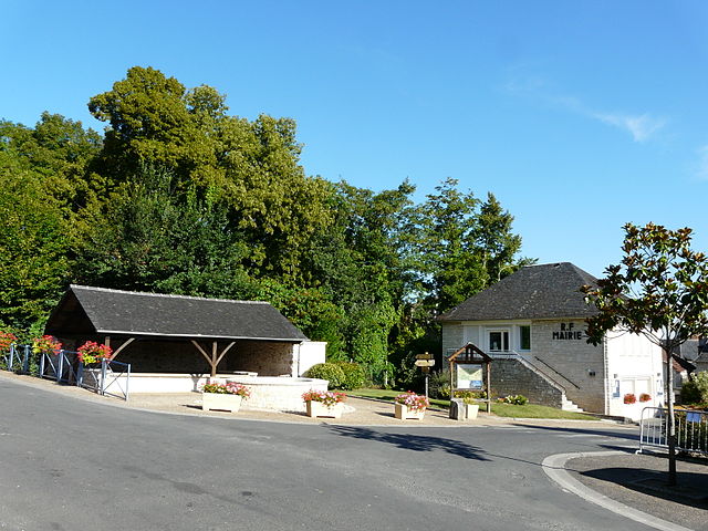
Pazayac
- commune in Dordogne, France
- Country:
- Postal Code: 24120
- Coordinates: 45° 7' 16" N, 1° 22' 47" E
- GPS tracks (wikiloc): [Link]
- Area: 6.84 sq km
- Population: 854
- Web site: [Link]


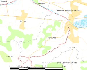
Larche
- commune in Corrèze, France
- Country:
- Postal Code: 19600
- Coordinates: 45° 7' 14" N, 1° 24' 56" E
- GPS tracks (wikiloc): [Link]
- Area: 5.74 sq km
- Population: 1599