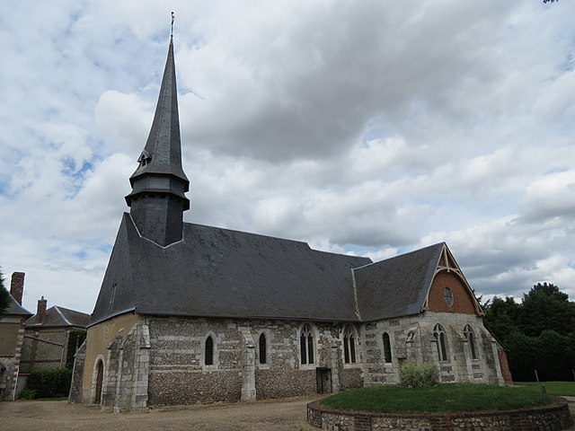
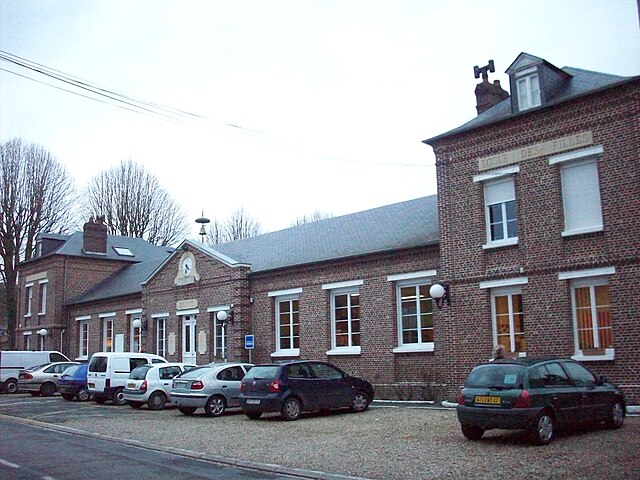
Grainville (Grainville)

- former commune in Eure, France
- Country:

- Postal Code: 27380
- Coordinates: 49° 20' 50" N, 1° 22' 1" E


- GPS tracks (wikiloc): [Link]
- Area: 3.98 sq km
- Population: 579
- Wikipedia en: wiki(en)
- Wikipedia: wiki(fr)
- Wikidata storage: Wikidata: Q1074749
- Wikipedia Commons Category: [Link]
- Freebase ID: [/m/03nqjhg]
- Freebase ID: [/m/03nqjhg]
- GeoNames ID: Alt: [6453894]
- GeoNames ID: Alt: [6453894]
- BnF ID: [15253531m]
- BnF ID: [15253531m]
- INSEE municipality code: 27294
- INSEE municipality code: 27294
Shares border with regions:

Bacqueville
- commune in Eure, France
- Country:
- Postal Code: 27440
- Coordinates: 49° 18' 49" N, 1° 22' 11" E
- GPS tracks (wikiloc): [Link]
- Area: 11.01 sq km
- Population: 611


Fleury-sur-Andelle
- commune in Eure, France
- Country:
- Postal Code: 27380
- Coordinates: 49° 21' 44" N, 1° 21' 19" E
- GPS tracks (wikiloc): [Link]
- Area: 3.79 sq km
- Population: 1869
- Web site: [Link]


Charleval
- commune in Eure, France
- Country:
- Postal Code: 27380
- Coordinates: 49° 22' 16" N, 1° 22' 59" E
- GPS tracks (wikiloc): [Link]
- Area: 14.14 sq km
- Population: 1826
Gaillardbois-Cressenville
- former commune in Eure, France
- Country:
- Postal Code: 27440
- Coordinates: 49° 20' 33" N, 1° 24' 19" E
- GPS tracks (wikiloc): [Link]
- Area: 6.99 sq km
- Population: 409
- Web site: [Link]

Radepont
- commune in Eure, France
- Country:
- Postal Code: 27380
- Coordinates: 49° 21' 4" N, 1° 19' 42" E
- GPS tracks (wikiloc): [Link]
- Area: 15.81 sq km
- Population: 663