Hourtin (Hourtin)

- commune in Gironde, France
- Country:

- Postal Code: 33990
- Coordinates: 45° 11' 10" N, 1° 3' 27" E


- GPS tracks (wikiloc): [Link]
- Area: 190.5 sq km
- Population: 3490
- Web site: http://www.hourtin-medoc.com
- Wikipedia en: wiki(en)
- Wikipedia: wiki(fr)
- Wikidata storage: Wikidata: Q380871
- Wikipedia Commons Category: [Link]
- Freebase ID: [/m/03mhcns]
- GeoNames ID: Alt: [6454003]
- SIREN number: [213302037]
- BnF ID: [15256255h]
- VIAF ID: Alt: [241214721]
- PACTOLS thesaurus ID: [pcrtz6lGSmScWw]
- INSEE municipality code: 33203
Shares border with regions:


Saint-Germain-d'Esteuil
- commune in Gironde, France
- Country:
- Postal Code: 33340
- Coordinates: 45° 17' 22" N, 0° 51' 54" E
- GPS tracks (wikiloc): [Link]
- Area: 44.71 sq km
- Population: 1214
- Web site: [Link]


Naujac-sur-Mer
- commune in Gironde, France
- Country:
- Postal Code: 33990
- Coordinates: 45° 15' 16" N, 1° 1' 30" E
- GPS tracks (wikiloc): [Link]
- Area: 98.55 sq km
- Population: 1061
- Web site: [Link]


Saint-Laurent-Médoc
- commune in Gironde, France
- Country:
- Postal Code: 33112
- Coordinates: 45° 9' 1" N, 0° 49' 19" E
- GPS tracks (wikiloc): [Link]
- AboveSeaLevel: 9 м m
- Area: 136.55 sq km
- Population: 4569
- Web site: [Link]


Lesparre-Médoc
- commune in Gironde, France
- Country:
- Postal Code: 33340
- Coordinates: 45° 18' 25" N, 0° 56' 16" E
- GPS tracks (wikiloc): [Link]
- AboveSeaLevel: 4 м m
- Area: 36.97 sq km
- Population: 5699
- Web site: [Link]
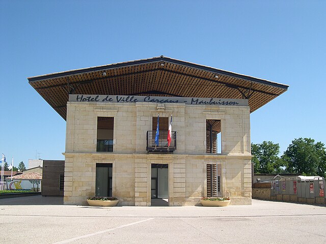

Carcans
- commune in Gironde, France
- Country:
- Postal Code: 33121
- Coordinates: 45° 4' 43" N, 1° 2' 39" E
- GPS tracks (wikiloc): [Link]
- Area: 175.4 sq km
- Population: 2388
- Web site: [Link]