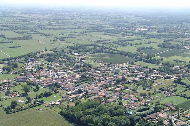
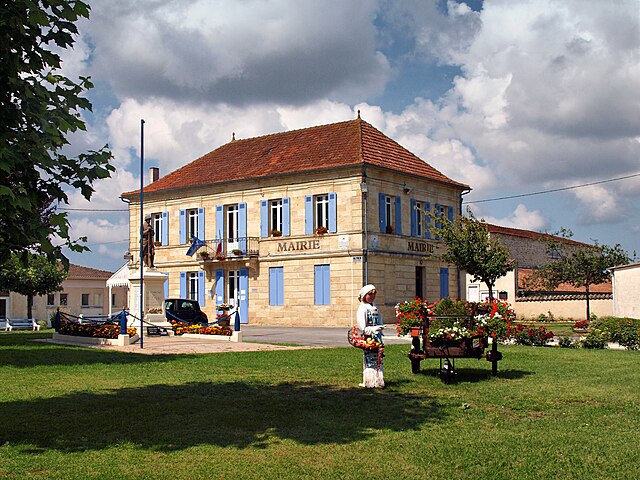
Jau-Dignac-et-Loirac (Jau-Dignac-et-Loirac)

- commune in Gironde, France
- Country:

- Postal Code: 33590
- Coordinates: 45° 24' 28" N, 0° 57' 29" E


- GPS tracks (wikiloc): [Link]
- Area: 41.23 sq km
- Population: 999
- Web site: http://www.jau-dignac-loirac.com
- Wikipedia en: wiki(en)
- Wikipedia: wiki(fr)
- Wikidata storage: Wikidata: Q495665
- Wikipedia Commons Category: [Link]
- Freebase ID: [/m/03nrzw5]
- GeoNames ID: Alt: [6432256]
- SIREN number: [213302086]
- BnF ID: [152562603]
- PACTOLS thesaurus ID: [pcrtrSApXISeFH]
- INSEE municipality code: 33208
Shares border with regions:

Queyrac
- commune in Gironde, France
- Country:
- Postal Code: 33340
- Coordinates: 45° 21' 44" N, 0° 58' 42" E
- GPS tracks (wikiloc): [Link]
- Area: 30.73 sq km
- Population: 1363


Saint-Vivien-de-Médoc
- commune in Gironde, France
- Country:
- Postal Code: 33590
- Coordinates: 45° 25' 49" N, 1° 2' 8" E
- GPS tracks (wikiloc): [Link]
- Area: 29.4 sq km
- Population: 1754
- Web site: [Link]


Vensac
- commune in Gironde, France
- Country:
- Postal Code: 33590
- Coordinates: 45° 23' 53" N, 1° 2' 28" E
- GPS tracks (wikiloc): [Link]
- Area: 34 sq km
- Population: 959
- Web site: [Link]

Valeyrac
- commune in Gironde, France
- Country:
- Postal Code: 33340
- Coordinates: 45° 23' 44" N, 0° 53' 43" E
- GPS tracks (wikiloc): [Link]
- Area: 13.49 sq km
- Population: 547


Bégadan
- commune in Gironde, France
- Country:
- Postal Code: 33340
- Coordinates: 45° 21' 23" N, 0° 53' 37" E
- GPS tracks (wikiloc): [Link]
- Area: 22.15 sq km
- Population: 921